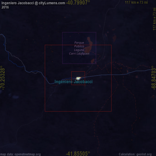
Ingeniero Jacobacci night lights from space
Night Light of Ingeniero Jacobacci (Rio Negro) from space (Argentina) Src. Average luminocity for 10x10km area is 5.7534% and for 50x50km: 0.2222%.
Analysis of Ingeniero Jacobacci night lights 2016
Square area 10x10 km:
 0.68%
0.68%90-99
0.68%80-89
1.53%70-79
1.87%60-69
0%50-59
0%40-49
0%30-39
0.85%20-29
1.19%10-19
0.68%0-9
92.52%Square area 50x50 km:
0.03%90-99
0.03%80-89
0.06%70-79
0.07%60-69
0%50-59
0%40-49
0%30-39
0.03%20-29
0.05%10-19
0.03%0-9
99.71%Clear (daylight) street map image can be seen on geolist.org.
Map coordinates:
40° 47' 56.7" South, 70° 15' 11.8" West
41° 19' 45.1" South, 69° 33' 0.5" West
41° 51' 18.2" South, 68° 50' 49.3" West
Some cities around Ingeniero Jacobacci sort by population:
• San Carlos de Bariloche
148.4 km =92.2 mi,  277°
277°
• Cutral-Có
267.7 km =166.3 mi,  5°
5°
• Esquel
228.6 km =142 mi,  219°
219°
• San Martín de los Andes
200.1 km =124.3 mi,  310°
310°
• El Bolsón
179.1 km =111.3 mi,  246°
246°
• Junín de los Andes
199.8 km =124.1 mi,  320°
320°
• Villa La Angostura
186.8 km =116.1 mi,  289°
289°
• Trevelin
251 km =156 mi, 218°
3853786 (p: 5,785)
Sources (retrieved 2019-11-25):
» Earth at Night: Flat Maps 2012, 2016