San Martín de los Andes night lights from space
Night Light of San Martín de los Andes (Neuquen) from space (Argentina) Src. Average luminocity for 10x10km area is 12.2549% and for 50x50km: 1.2896%.
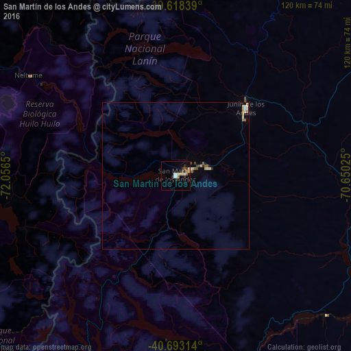

Analysis of San Martín de los Andes night lights 2016
Square area 10x10 km:
 1.62%
1.62%90-99
1.79%80-89
2.27%70-79
0.16%60-69
1.95%50-59
1.46%40-49
0.65%30-39
3.08%20-29
1.62%10-19
2.92%0-9
82.47%Square area 50x50 km:
0.16%90-99
0.2%80-89
0.24%70-79
0.08%60-69
0.17%50-59
0.2%40-49
0.12%30-39
0.19%20-29
0.1%10-19
0.2%0-9
98.36%Clear (daylight) street map image can be seen on geolist.org.
Map coordinates:
39° 37' 6.2" South, 72° 3' 23.4" West
40° 9' 28.4" South, 71° 21' 12.1" West
40° 41' 35.3" South, 70° 39' 0.9" West
Some cities around San Martín de los Andes sort by population:
• San Carlos de Bariloche
109.9 km =68.3 mi,  178°
178°
• Villarrica, CL
122.5 km =76.1 mi,  322°
322°
• Pucón, CL
110.1 km =68.4 mi,  332°
332°
• Panguipulli, CL
101.2 km =62.9 mi,  304°
304°
• Loncoche, CL
140.2 km =87.1 mi,  308°
308°
• Río Bueno, CL
137.4 km =85.4 mi,  261°
261°
• Junín de los Andes
33.4 km =20.8 mi,  46°
46°
• Villa La Angostura
71.6 km =44.5 mi,  200°
200°
3836951 (p: 23,519)
Sources (retrieved 2019-11-25):
» Earth at Night: Flat Maps 2012, 2016