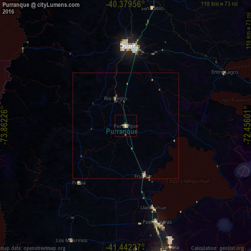
Purranque night lights from space
Night Light of Purranque (Los Lagos Region) from space (Chile) Src. Average luminocity for 10x10km area is 4.3435% and for 50x50km: 0.5378%.
Analysis of Purranque night lights 2016
Square area 10x10 km:
 0%
0%90-99
0.68%80-89
0%70-79
1.53%60-69
0.51%50-59
0.68%40-49
2.04%30-39
0.34%20-29
1.02%10-19
0%0-9
93.2%Square area 50x50 km:
0.01%90-99
0.04%80-89
0.05%70-79
0.16%60-69
0.07%50-59
0.16%40-49
0.12%30-39
0.07%20-29
0.22%10-19
0%0-9
99.09%Clear (daylight) street map image can be seen on geolist.org.
Map coordinates:
40° 22' 46.4" South, 73° 51' 44.1" West
40° 54' 47" South, 73° 9' 32.9" West
41° 26' 32.2" South, 72° 27' 21.6" West
Some cities around Purranque sort by population:
• Puerto Montt
64.5 km =40.1 mi,  163°
163°
• Osorno
37.8 km =23.5 mi,  3°
3°
• Valdivia
122.4 km =76.1 mi,  356°
356°
• Ancud
119.8 km =74.4 mi,  207°
207°
• La Unión
69.2 km =43 mi,  5°
5°
• Puerto Varas
47.5 km =29.5 mi, 162°
• Río Bueno
66.5 km =41.3 mi, 14°
• Calbuco
95.7 km =59.5 mi,  178°
178°
3874579 (p: 13,619)
Sources (retrieved 2019-11-25):
» Earth at Night: Flat Maps 2012, 2016