General Conesa night lights from space
Night Light of General Conesa (Rio Negro) from space (Argentina) Src. Average luminocity for 10x10km area is 8.9467% and for 50x50km: 0.3921%.
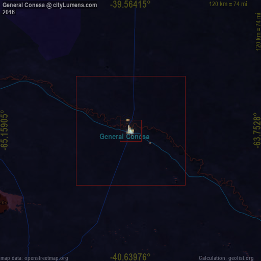
Analysis of General Conesa night lights 2016
Square area 10x10 km:
 1.1%
1.1%90-99
0.78%80-89
2.82%70-79
1.57%60-69
0.63%50-59
0.63%40-49
1.25%30-39
0%20-29
1.25%10-19
0%0-9
89.97%Square area 50x50 km:
0.05%90-99
0.03%80-89
0.12%70-79
0.07%60-69
0.03%50-59
0.03%40-49
0.05%30-39
0.03%20-29
0.05%10-19
0%0-9
99.55%Clear (daylight) street map image can be seen on geolist.org.
Map coordinates:
39° 33' 50.9" South, 65° 9' 32.6" West
40° 6' 14.7" South, 64° 27' 21.3" West
40° 38' 23.1" South, 63° 45' 10.1" West
Some cities around General Conesa sort by population:
• Bahía Blanca
242.6 km =150.7 mi,  50°
50°
• Punta Alta
245.8 km =152.7 mi,  56°
56°
• Viedma
146.5 km =91 mi,  122°
122°
• San Antonio Oeste
81.3 km =50.5 mi,  210°
210°
• Choele Choel
137.2 km =85.3 mi,  311°
311°
• Lamarque
130.7 km =81.2 mi, 305°
• Sierra Grande
183.3 km =113.9 mi,  204°
204°
• Fray Luis Beltrán
142 km =88.2 mi, 308°
3855121 (p: 5,595)
Sources (retrieved 2019-11-25):
» Earth at Night: Flat Maps 2012, 2016