Guatraché night lights from space
Night Light of Guatraché (La Pampa) from space (Argentina) Src. Average luminocity for 10x10km area is 3.5748% and for 50x50km: 0.2495%.
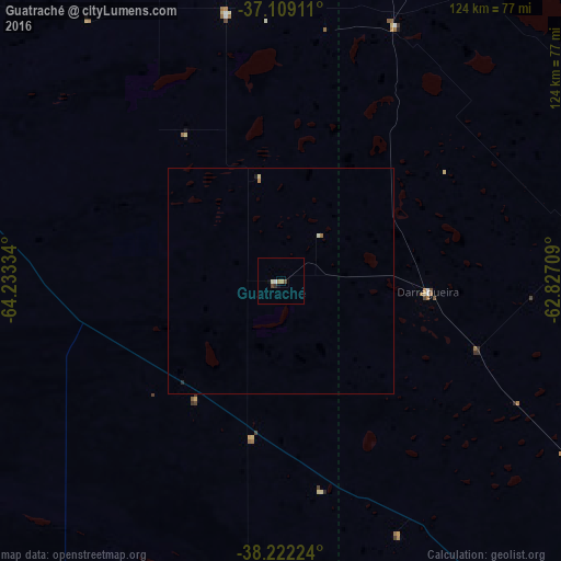
Analysis of Guatraché night lights 2016
Square area 10x10 km:
 0.34%
0.34%90-99
0.85%80-89
0.17%70-79
0%60-69
1.36%50-59
0%40-49
1.36%30-39
0.51%20-29
0.17%10-19
0.51%0-9
94.73%Square area 50x50 km:
0.01%90-99
0.06%80-89
0.03%70-79
0.01%60-69
0.09%50-59
0.01%40-49
0.05%30-39
0.02%20-29
0.03%10-19
0.05%0-9
99.62%Clear (daylight) street map image can be seen on geolist.org.
Map coordinates:
37° 6' 32.8" South, 64° 14' 0" West
37° 40' 3.9" South, 63° 31' 48.8" West
38° 13' 20.1" South, 62° 49' 37.5" West
Some cities around Guatraché sort by population:
• Bahía Blanca
160.5 km =99.7 mi,  136°
136°
• Santa Rosa
134.6 km =83.6 mi,  330°
330°
• Punta Alta
185 km =115 mi, 136°
• General Pico
224.5 km =139.5 mi,  354°
354°
• Coronel Suárez
142.7 km =88.7 mi,  80°
80°
• General Acha
100.1 km =62.2 mi,  288°
288°
• Coronel Dorrego
228.2 km =141.8 mi,  120°
120°
• Eduardo Castex
206.4 km =128.3 mi,  340°
340°
3854493 (p: 5,271)
Sources (retrieved 2019-11-25):
» Earth at Night: Flat Maps 2012, 2016