Viedma night lights from space
Night Light of Viedma (Rio Negro) from space (Argentina) Src. Average luminocity for 10x10km area is 44.7058% and for 50x50km: 2.1494%.
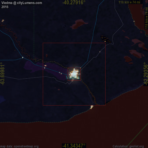
Analysis of Viedma night lights 2016
Square area 10x10 km:
 12.41%
90-99
9.86%80-89
2.89%70-79
2.21%60-69
5.95%50-59
7.82%40-49
1.19%30-39
6.46%20-29
9.18%10-19
35.71%0-9
6.29%Square area 50x50 km:
0.48%90-99
0.38%80-89
0.11%70-79
0.11%60-69
0.26%50-59
0.31%40-49
0.13%30-39
0.35%20-29
0.38%10-19
2.12%0-9
95.37%Clear (daylight) street map image can be seen on geolist.org.
Map coordinates:
40° 16' 45" South, 63° 41' 59.3" West
40° 48' 48.4" South, 62° 59' 48" West
41° 20' 36.5" South, 62° 17' 36.8" West
Some cities around Viedma sort by population:
• Bahía Blanca
240.9 km =149.7 mi,  14°
14°
• Puerto Madryn
275.6 km =171.2 mi,  217°
217°
• Punta Alta
229.4 km =142.5 mi,  20°
20°
• San Antonio Oeste
164.5 km =102.2 mi,  273°
273°
• Coronel Dorrego
274.9 km =170.8 mi,  32°
32°
• Lamarque
277.1 km =172.2 mi,  303°
303°
• Sierra Grande
216.1 km =134.3 mi,  245°
245°
• General Conesa
146.5 km =91 mi, 302°
3832899 (p: 48,940)
Sources (retrieved 2019-11-25):
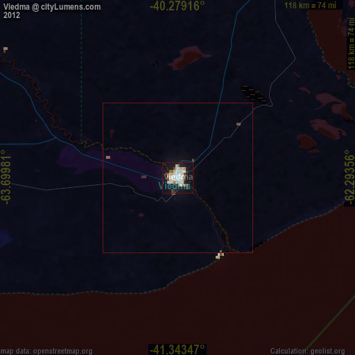
» Earth at Night: Flat Maps 2012, 2016