Mburucuyá night lights from space
Night Light of Mburucuyá (Corrientes) from space (Argentina) Src. Average luminocity for 10x10km area is 8.3201% and for 50x50km: 0.7577%.
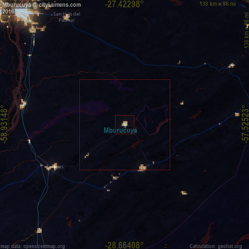
Analysis of Mburucuyá night lights 2016
Square area 10x10 km:
 0.76%
0.76%90-99
1.33%80-89
0.95%70-79
3.03%60-69
1.52%50-59
0%40-49
1.52%30-39
0%20-29
0%10-19
0%0-9
90.91%Square area 50x50 km:
0.03%90-99
0.05%80-89
0.11%70-79
0.2%60-69
0.24%50-59
0.12%40-49
0.08%30-39
0.04%20-29
0.03%10-19
0.07%0-9
99.02%Clear (daylight) street map image can be seen on geolist.org.
Map coordinates:
27° 25' 22.7" South, 58° 55' 53.3" West
28° 2' 43.2" South, 58° 13' 42.1" West
28° 39' 50.7" South, 57° 31' 30.8" West
Some cities around Mburucuyá sort by population:
• Corrientes
87.6 km =54.4 mi,  317°
317°
• San Lorenzo
53.8 km =33.4 mi,  259°
259°
• Saladas
45.4 km =28.2 mi,  239°
239°
• San Luis del Palmar
67.8 km =42.1 mi,  331°
331°
• Santa Rosa
26.5 km =16.5 mi,  156°
156°
• Itatí
86.2 km =53.6 mi,  358°
358°
• Nuestra Señora del Rosario de Caa Catí
68.1 km =42.3 mi,  61°
61°
• San Miguel
62.9 km =39.1 mi,  84°
84°
3430760 (p: 9,012)
Sources (retrieved 2019-11-25):
» Earth at Night: Flat Maps 2012, 2016