San Miguel night lights from space
Night Light of San Miguel (Corrientes) from space (Argentina) Src. Average luminocity for 10x10km area is 3.1875% and for 50x50km: 0.148%.
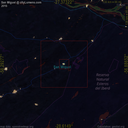
Analysis of San Miguel night lights 2016
Square area 10x10 km:
 0%
0%90-99
0%80-89
0.19%70-79
2.08%60-69
0%50-59
1.89%40-49
0.38%30-39
0%20-29
0%10-19
0%0-9
95.45%Square area 50x50 km:
0%90-99
0%80-89
0.01%70-79
0.08%60-69
0%50-59
0.08%40-49
0.05%30-39
0%20-29
0%10-19
0%0-9
99.79%Clear (daylight) street map image can be seen on geolist.org.
Map coordinates:
27° 22' 23.6" South, 58° 17' 34" West
27° 59' 45.1" South, 57° 35' 22.7" West
28° 36' 53.6" South, 56° 53' 11.5" West
Some cities around San Miguel sort by population:
• San Lorenzo
116.6 km =72.5 mi,  262°
262°
• Saladas
105.6 km =65.6 mi,  254°
254°
• San Luis del Palmar
109.4 km =68 mi,  299°
299°
• Juan de Ayolas, PY
99.7 km =62 mi,  47°
47°
• Mburucuyá
62.9 km =39.1 mi, 264°
• Santa Rosa
59.8 km =37.2 mi,  240°
240°
• Itatí
103.3 km =64.2 mi,  321°
321°
• Nuestra Señora del Rosario de Caa Catí
27.4 km =17 mi,  353°
353°
3428644 (p: 7,396)
Sources (retrieved 2019-11-25):
» Earth at Night: Flat Maps 2012, 2016