Santa Rosa night lights from space
Night Light of Santa Rosa (Corrientes) from space (Argentina) Src. Average luminocity for 10x10km area is 11.4623% and for 50x50km: 1.1226%.
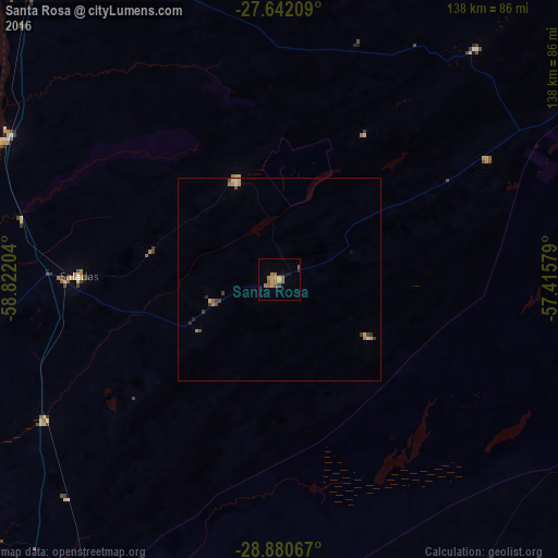
Analysis of Santa Rosa night lights 2016
Square area 10x10 km:
 0%
0%90-99
0%80-89
1.98%70-79
2.98%60-69
3.77%50-59
4.37%40-49
0%30-39
0.79%20-29
0.4%10-19
1.79%0-9
83.93%Square area 50x50 km:
0.05%90-99
0.06%80-89
0.21%70-79
0.2%60-69
0.26%50-59
0.2%40-49
0.23%30-39
0.2%20-29
0.11%10-19
0.08%0-9
98.4%Clear (daylight) street map image can be seen on geolist.org.
Map coordinates:
27° 38' 31.5" South, 58° 49' 19.3" West
28° 15' 47.4" South, 58° 7' 8.1" West
28° 52' 50.4" South, 57° 24' 56.8" West
Some cities around Santa Rosa sort by population:
• San Lorenzo
65.2 km =40.5 mi,  282°
282°
• Mercedes
102.5 km =63.7 mi,  177°
177°
• Saladas
49.7 km =30.9 mi,  271°
271°
• San Luis del Palmar
94.3 km =58.6 mi,  332°
332°
• Mburucuyá
26.5 km =16.5 mi,  336°
336°
• Itatí
111.1 km =69 mi,  353°
353°
• Nuestra Señora del Rosario de Caa Catí
75.1 km =46.7 mi,  40°
40°
• San Miguel
59.8 km =37.2 mi,  60°
60°
3428182 (p: 8,330)
Sources (retrieved 2019-11-25):
» Earth at Night: Flat Maps 2012, 2016