Nuestra Señora del Rosario de Caa Catí night lights from space
Night Light of Nuestra Señora del Rosario de Caa Catí (Corrientes) from space (Argentina) Src. Average luminocity for 10x10km area is 4.8393% and for 50x50km: 0.2687%.
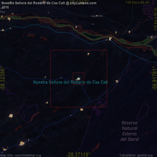
Analysis of Nuestra Señora del Rosario de Caa Catí night lights 2016
Square area 10x10 km:
 1.19%
1.19%90-99
0.4%80-89
0.79%70-79
0%60-69
0%50-59
0%40-49
2.98%30-39
0.99%20-29
0.79%10-19
0.79%0-9
92.06%Square area 50x50 km:
0.05%90-99
0.02%80-89
0.03%70-79
0.06%60-69
0.03%50-59
0%40-49
0.14%30-39
0.04%20-29
0.03%10-19
0.03%0-9
99.58%Clear (daylight) street map image can be seen on geolist.org.
Map coordinates:
27° 7' 36.1" South, 58° 19' 25.9" West
27° 45' 2.6" South, 57° 37' 14.6" West
28° 22' 16.3" South, 56° 55' 3.4" West
Some cities around Nuestra Señora del Rosario de Caa Catí sort by population:
• Saladas
113.4 km =70.5 mi,  240°
240°
• San Luis del Palmar
95.9 km =59.6 mi,  286°
286°
• Juan de Ayolas, PY
86.3 km =53.6 mi,  62°
62°
• Mburucuyá
68.1 km =42.3 mi, 241°
• Santa Rosa
75.1 km =46.7 mi,  220°
220°
• Itatí
81.5 km =50.6 mi,  310°
310°
• San Miguel
27.4 km =17 mi,  173°
173°
• Paso de la Patria
105.5 km =65.6 mi,  297°
297°
3430402 (p: 7,573)
Sources (retrieved 2019-11-25):
» Earth at Night: Flat Maps 2012, 2016