Saladas night lights from space
Night Light of Saladas (Corrientes) from space (Argentina) Src. Average luminocity for 10x10km area is 12.873% and for 50x50km: 0.7222%.
Analysis of Saladas night lights 2016
Square area 10x10 km:
 0.4%
0.4%90-99
0.6%80-89
2.78%70-79
1.79%60-69
3.57%50-59
2.58%40-49
1.39%30-39
2.38%20-29
1.59%10-19
0.79%0-9
82.14%Square area 50x50 km:
0.02%90-99
0.02%80-89
0.17%70-79
0.07%60-69
0.21%50-59
0.1%40-49
0.14%30-39
0.19%20-29
0.06%10-19
0.06%0-9
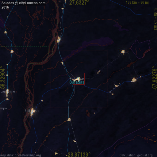
98.96%Clear (daylight) street map image can be seen on geolist.org.
Map coordinates:
27° 37' 57.7" South, 59° 19' 44.5" West
28° 15' 13.8" South, 58° 37' 33.3" West
28° 52' 17" South, 57° 55' 22" West
Some cities around Saladas sort by population:
• Corrientes
89.8 km =55.8 mi,  346°
346°
• San Lorenzo
19.3 km =12 mi,  314°
314°
• Villa Ocampo
75.9 km =47.2 mi,  249°
249°
• San Luis del Palmar
83.2 km =51.7 mi,  4°
4°
• Las Toscas
62.8 km =39 mi,  259°
259°
• Mburucuyá
45.4 km =28.2 mi,  59°
59°
• Puerto Vilelas
87.8 km =54.6 mi,  339°
339°
• Santa Rosa
49.7 km =30.9 mi,  91°
91°
3429403 (p: 18,349)
Sources (retrieved 2019-11-25):
» Earth at Night: Flat Maps 2012, 2016