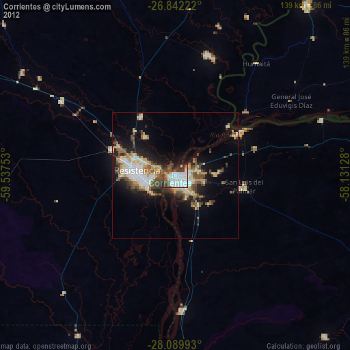
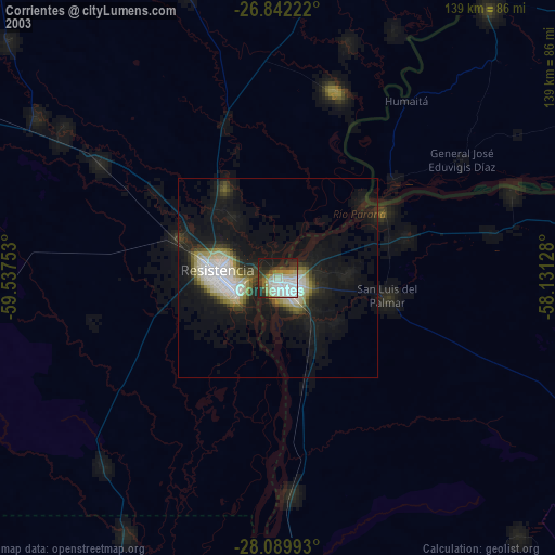
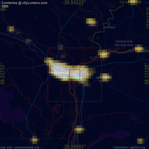
Corrientes night lights from space
Night Light of Corrientes from space (Argentina) Src. Average luminocity for 10x10km area is 64.7123% and for 50x50km: 17.7189%.
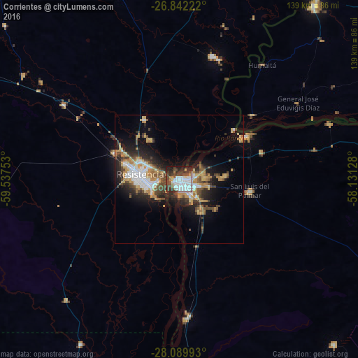
Analysis of Corrientes night lights 2016
Square area 10x10 km:
 29.56%
90-99
12.7%80-89
0.79%70-79
3.77%60-69
3.17%50-59
3.57%40-49
16.47%30-39
11.11%20-29
14.29%10-19
4.56%0-9
0%Square area 50x50 km:
3.66%90-99
2.25%80-89
2.02%70-79
2.62%60-69
2.4%50-59
1.6%40-49
3.62%30-39
2.73%20-29
4.73%10-19
8.42%0-9
65.95%Clear (daylight) street map image can be seen on geolist.org.
Map coordinates:
26° 50' 32" South, 59° 32' 15.1" West
27° 28' 4.2" South, 58° 50' 3.8" West
28° 5' 23.7" South, 58° 7' 52.6" West
Some cities around Corrientes sort by population:
• Resistencia
14.8 km =9.2 mi,  273°
273°
• Barranqueras
10.5 km =6.5 mi,  261°
261°
• Fontana
19.5 km =12.1 mi,  286°
286°
• San Luis del Palmar
28 km =17.4 mi,  99°
99°
• Puerto Tirol
26.7 km =16.6 mi, 293°
• Puerto Vilelas
11.5 km =7.1 mi,  243°
243°
• Paso de la Patria
30.9 km =19.2 mi,  57°
57°
• Margarita Belén
26.7 km =16.6 mi,  329°
329°
3435217 (p: 339,067)
Sources (retrieved 2019-11-25):
» NASA, Earths city lights 1995
» NASA city lights 2003
» Earth at Night: Flat Maps 2012, 2016