General Pico night lights from space
Night Light of General Pico (La Pampa) from space (Argentina) Src. Average luminocity for 10x10km area is 36.0682% and for 50x50km: 1.7816%.
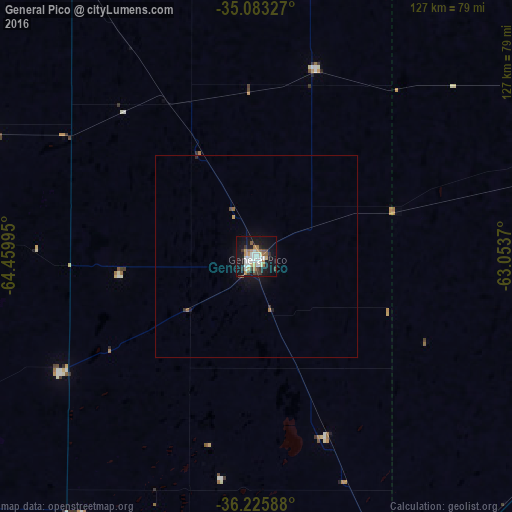
Analysis of General Pico night lights 2016
Square area 10x10 km:
 6.47%
6.47%90-99
8.74%80-89
2.27%70-79
5.42%60-69
4.72%50-59
3.32%40-49
2.97%30-39
4.72%20-29
2.8%10-19
39.34%0-9
19.23%Square area 50x50 km:
0.26%90-99
0.35%80-89
0.09%70-79
0.24%60-69
0.26%50-59
0.16%40-49
0.17%30-39
0.25%20-29
0.17%10-19
1.93%0-9
96.14%Clear (daylight) street map image can be seen on geolist.org.
Map coordinates:
35° 4' 59.8" South, 64° 27' 35.8" West
35° 39' 23.8" South, 63° 45' 24.6" West
36° 13' 33.2" South, 63° 3' 13.3" West
Some cities around General Pico sort by population:
• Santa Rosa
116.7 km =72.5 mi,  203°
203°
• Laboulaye
173.4 km =107.7 mi,  11°
11°
• Eduardo Castex
56.4 km =35 mi,  239°
239°
• Huinca Renancó
106.8 km =66.4 mi,  328°
328°
• Realicó
81.9 km =50.9 mi, 327°
• Intendente Alvear
49.3 km =30.6 mi,  17°
17°
• Victorica
163.4 km =101.5 mi,  247°
247°
• Villa Huidobro
118.2 km =73.4 mi,  320°
320°
3855075 (p: 57,029)
Sources (retrieved 2019-11-25):
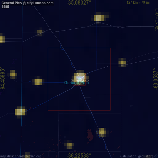
» NASA, Earths city lights 1995
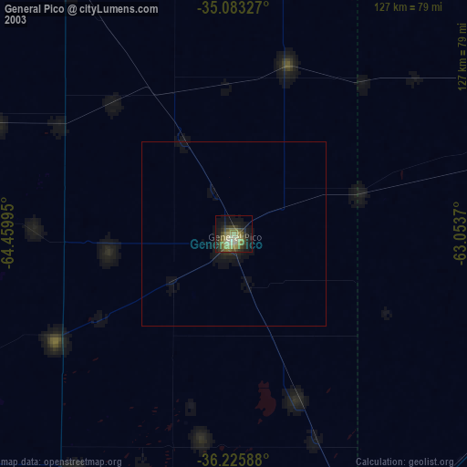
» NASA city lights 2003
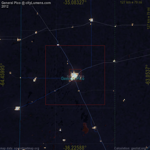
» Earth at Night: Flat Maps 2012, 2016