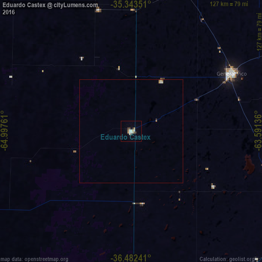
Eduardo Castex night lights from space
Night Light of Eduardo Castex (La Pampa) from space (Argentina) Src. Average luminocity for 10x10km area is 10.8395% and for 50x50km: 0.6304%.
Analysis of Eduardo Castex night lights 2016
Square area 10x10 km:
 1.94%
1.94%90-99
3%80-89
0.53%70-79
1.23%60-69
1.06%50-59
0.71%40-49
1.06%30-39
1.76%20-29
0.71%10-19
0%0-9
88.01%Square area 50x50 km:
0.11%90-99
0.15%80-89
0.08%70-79
0.05%60-69
0.12%50-59
0.04%40-49
0.04%30-39
0.07%20-29
0.06%10-19
0%0-9
99.3%Clear (daylight) street map image can be seen on geolist.org.
Map coordinates:
35° 20' 36.6" South, 64° 59' 51.4" West
35° 54' 54" South, 64° 17' 40.1" West
36° 28' 56.7" South, 63° 35' 28.9" West
Some cities around Eduardo Castex sort by population:
• Santa Rosa
78 km =48.5 mi,  179°
179°
• General Pico
56.4 km =35 mi,  59°
59°
• General Villegas
152 km =94.4 mi,  49°
49°
• Huinca Renancó
119.7 km =74.4 mi,  356°
356°
• Realicó
97.8 km =60.8 mi,  2°
2°
• Intendente Alvear
98.9 km =61.5 mi,  39°
39°
• Victorica
107.9 km =67 mi,  251°
251°
• Villa Huidobro
122.6 km =76.2 mi,  347°
347°
3859036 (p: 9,861)
Sources (retrieved 2019-11-25):
» Earth at Night: Flat Maps 2012, 2016