Santa Rosa night lights from space
Night Light of Santa Rosa (La Pampa) from space (Argentina) Src. Average luminocity for 10x10km area is 53.5397% and for 50x50km: 3.3128%.
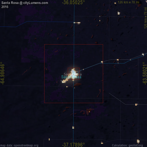
Analysis of Santa Rosa night lights 2016
Square area 10x10 km:
 17.46%
90-99
13.93%80-89
3.17%70-79
4.23%60-69
6.88%50-59
2.47%40-49
2.65%30-39
8.99%20-29
12.35%10-19
25.22%0-9
2.65%Square area 50x50 km:
0.69%90-99
0.61%80-89
0.38%70-79
0.24%60-69
0.49%50-59
0.13%40-49
0.2%30-39
0.44%20-29
0.75%10-19
3.16%0-9
92.9%Clear (daylight) street map image can be seen on geolist.org.
Map coordinates:
36° 3' 0.9" South, 64° 59' 11.3" West
36° 37' 0" South, 64° 16' 60" West
37° 10' 44.3" South, 63° 34' 48.8" West
Some cities around Santa Rosa sort by population:
• General Pico
116.7 km =72.5 mi,  23°
23°
• General Acha
89.2 km =55.4 mi,  198°
198°
• Eduardo Castex
78 km =48.5 mi,  359°
359°
• Huinca Renancó
197.7 km =122.8 mi, 357°
• Realicó
175.7 km =109.2 mi,  1°
1°
• Intendente Alvear
165.9 km =103.1 mi, 22°
• Victorica
112.4 km =69.8 mi,  293°
293°
• Guatraché
134.6 km =83.6 mi,  150°
150°
3835994 (p: 111,424)
Sources (retrieved 2019-11-25):
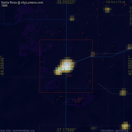
» NASA, Earths city lights 1995
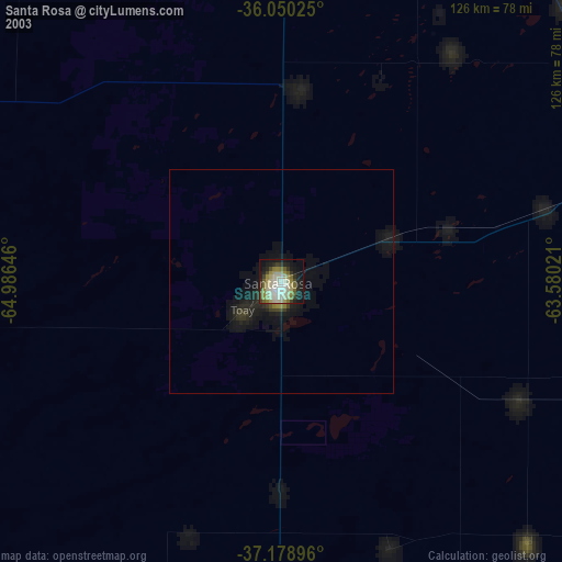
» NASA city lights 2003
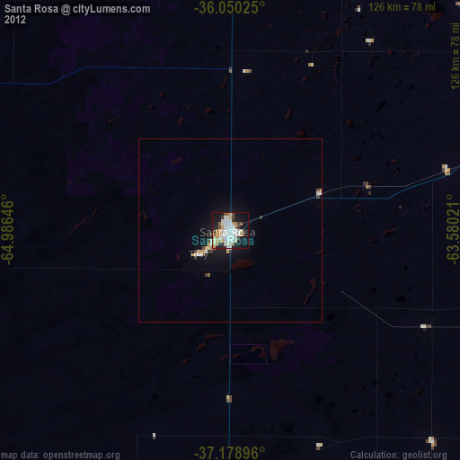
» Earth at Night: Flat Maps 2012, 2016