Caála night lights from space
Night Light of Caála (Huambo) from space (Angola) Src. Average luminocity for 10x10km area is 10.7835% and for 50x50km: 3.254%.
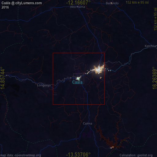
Analysis of Caála night lights 2016
Square area 10x10 km:
 0.65%
0.65%90-99
1.95%80-89
0.65%70-79
2.6%60-69
2.81%50-59
0.87%40-49
1.73%30-39
0.22%20-29
1.73%10-19
0.65%0-9
86.15%Square area 50x50 km:
0.45%90-99
0.47%80-89
0.15%70-79
0.82%60-69
0.34%50-59
0.4%40-49
0.4%30-39
0.39%20-29
0.67%10-19
2.62%0-9
93.29%Clear (daylight) street map image can be seen on geolist.org.
Map coordinates:
12° 9' 57.9" South, 14° 51' 26.8" East
12° 51' 9" South, 15° 33' 38" East
13° 32' 13.4" South, 16° 15' 49.3" East
Some cities around Caála sort by population:
• Huambo
21.1 km =13.1 mi,  66°
66°
• Cuito
157.8 km =98.1 mi, 70°
• Longonjo
33.8 km =21 mi,  259°
259°
• Catabola
202.7 km =126 mi, 67°
• Uacu Cungo
173.2 km =107.6 mi,  343°
343°
• Caconda
111.6 km =69.3 mi,  208°
208°
• Chissamba
207 km =128.6 mi, 68°
• Chela
62.7 km =39 mi,  347°
347°
3351500 (p: 21,205)
Sources (retrieved 2019-11-25):
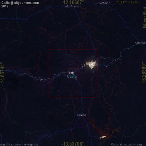
» Earth at Night: Flat Maps 2012, 2016