Cuito night lights from space
Night Light of Cuito (Bíe) from space (Angola) Src. Average luminocity for 10x10km area is 17.2335% and for 50x50km: 0.958%.
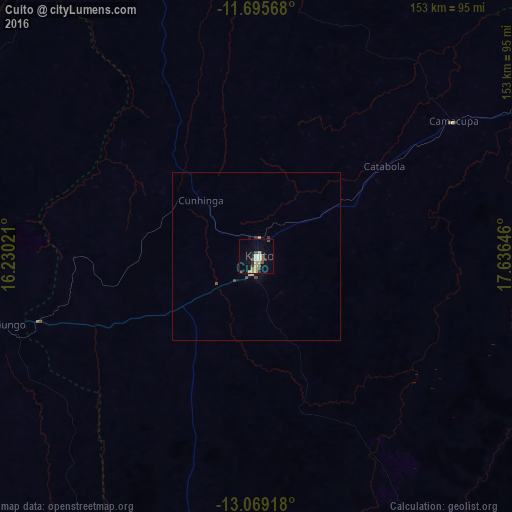
Analysis of Cuito night lights 2016
Square area 10x10 km:
 1.45%
1.45%90-99
1.24%80-89
3.31%70-79
4.55%60-69
0.21%50-59
1.65%40-49
4.96%30-39
2.27%20-29
1.03%10-19
5.17%0-9
74.17%Square area 50x50 km:
0.06%90-99
0.05%80-89
0.15%70-79
0.25%60-69
0.03%50-59
0.09%40-49
0.29%30-39
0.14%20-29
0.08%10-19
0.24%0-9
98.61%Clear (daylight) street map image can be seen on geolist.org.
Map coordinates:
11° 41' 44.4" South, 16° 13' 48.8" East
12° 22' 60" South, 16° 55' 60" East
13° 4' 9" South, 17° 38' 11.3" East
Some cities around Cuito sort by population:
• Huambo
136.8 km =85 mi,  251°
251°
• Longonjo
191.3 km =118.9 mi, 252°
• Caála
157.8 km =98.1 mi, 250°
• Camacupa
72.4 km =45 mi,  55°
55°
• Catabola
46 km =28.6 mi, 55°
• Uacu Cungo
228.2 km =141.8 mi,  300°
300°
• Chissamba
49.7 km =30.9 mi, 60°
• Chela
163.1 km =101.3 mi,  273°
273°
3348078 (p: 113,624)
Sources (retrieved 2019-11-25):
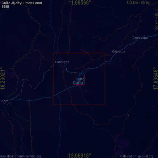
» NASA, Earths city lights 1995
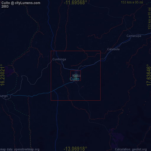
» NASA city lights 2003
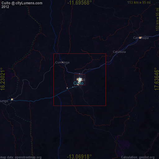
» Earth at Night: Flat Maps 2012, 2016