Caconda night lights from space
Night Light of Caconda (Huíla) from space (Angola) Src. Average luminocity for 10x10km area is 0% and for 50x50km: 0%.
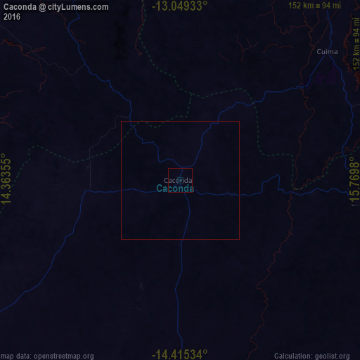
Analysis of Caconda night lights 2016
Square area 10x10 km:
 0%
0%90-99
0%80-89
0%70-79
0%60-69
0%50-59
0%40-49
0%30-39
0%20-29
0%10-19
0%0-9
100%Square area 50x50 km:
0%90-99
0%80-89
0%70-79
0%60-69
0%50-59
0%40-49
0%30-39
0%20-29
0%10-19
0%0-9
100%Clear (daylight) street map image can be seen on geolist.org.
Map coordinates:
13° 2' 57.6" South, 14° 21' 48.8" East
13° 43' 60" South, 15° 4' 0" East
14° 24' 55.2" South, 15° 46' 11.3" East
Some cities around Caconda sort by population:
• Huambo
128.9 km =80.1 mi,  34°
34°
• Lobito
225.1 km =139.9 mi,  312°
312°
• Benguela
221.1 km =137.4 mi, 305°
• Lubango
214.7 km =133.4 mi,  232°
232°
• Longonjo
94.1 km =58.5 mi,  12°
12°
• Caála
111.6 km =69.3 mi, 28°
• Catumbela
219.3 km =136.3 mi, 311°
• Chela
164 km =101.9 mi, 14°
3351380 (p: 10,549)
Sources (retrieved 2019-11-25):
» Earth at Night: Flat Maps 2012, 2016