Chissamba night lights from space
Night Light of Chissamba (Bíe) from space (Angola) Src. Average luminocity for 10x10km area is 0% and for 50x50km: 0.0556%.
Analysis of Chissamba night lights 2016
Square area 10x10 km:
 0%
0%90-99
0%80-89
0%70-79
0%60-69
0%50-59
0%40-49
0%30-39
0%20-29
0%10-19
0%0-9
100%Square area 50x50 km:
0%90-99
0%80-89
0.03%70-79
0%60-69
0%50-59
0%40-49
0.03%30-39
0%20-29
0.03%10-19
0%0-9
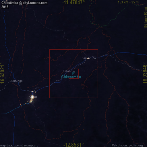
99.9%Clear (daylight) street map image can be seen on geolist.org.
Map coordinates:
11° 28' 42.5" South, 16° 37' 48.8" East
12° 10' 0" South, 17° 19' 60" East
12° 51' 11.2" South, 18° 2' 11.3" East
Some cities around Chissamba sort by population:
• Huambo
185.9 km =115.5 mi,  248°
248°
• Cuito
49.7 km =30.9 mi,  240°
240°
• Longonjo
240.3 km =149.3 mi, 249°
• Caála
207 km =128.6 mi, 248°
• Camacupa
23.3 km =14.5 mi,  44°
44°
• Catabola
5.7 km =3.5 mi,  288°
288°
• Uacu Cungo
257.5 km =160 mi, 290°
• Chela
207 km =128.6 mi,  265°
265°
3349580 (p: 7,677)
Sources (retrieved 2019-11-25):
» Earth at Night: Flat Maps 2012, 2016