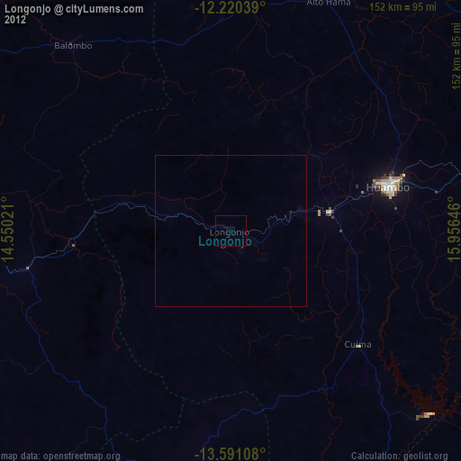
Longonjo night lights from space
Night Light of Longonjo (Huambo) from space (Angola) Src. Average luminocity for 10x10km area is 0% and for 50x50km: 0.0004%.
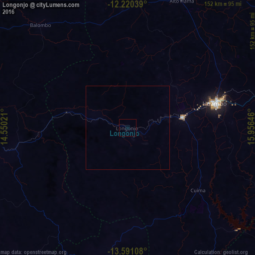
Analysis of Longonjo night lights 2016
Square area 10x10 km:
 0%
0%90-99
0%80-89
0%70-79
0%60-69
0%50-59
0%40-49
0%30-39
0%20-29
0%10-19
0%0-9
100%Square area 50x50 km:
0%90-99
0%80-89
0%70-79
0%60-69
0%50-59
0%40-49
0%30-39
0%20-29
0%10-19
0%0-9
100%Clear (daylight) street map image can be seen on geolist.org.
Map coordinates:
12° 13' 13.4" South, 14° 33' 0.8" East
12° 54' 24" South, 15° 15' 12" East
13° 35' 27.9" South, 15° 57' 23.3" East
Some cities around Longonjo sort by population:
• Huambo
54.6 km =33.9 mi,  74°
74°
• Lobito
195.8 km =121.7 mi,  287°
287°
• Cuito
191.3 km =118.9 mi, 72°
• Caála
33.8 km =21 mi,  79°
79°
• Catumbela
192.6 km =119.7 mi, 285°
• Uacu Cungo
173 km =107.5 mi,  355°
355°
• Caconda
94.1 km =58.5 mi,  192°
192°
• Chela
70 km =43.5 mi,  16°
16°
3347853 (p: 24,346)
Sources (retrieved 2019-11-25):
» Earth at Night: Flat Maps 2012, 2016