Catabola night lights from space
Night Light of Catabola (Bíe) from space (Angola) Src. Average luminocity for 10x10km area is 0% and for 50x50km: 0.0556%.
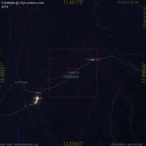
Analysis of Catabola night lights 2016
Square area 10x10 km:
 0%
0%90-99
0%80-89
0%70-79
0%60-69
0%50-59
0%40-49
0%30-39
0%20-29
0%10-19
0%0-9
100%Square area 50x50 km:
0%90-99
0%80-89
0.03%70-79
0%60-69
0%50-59
0%40-49
0.03%30-39
0%20-29
0.03%10-19
0%0-9
99.9%Clear (daylight) street map image can be seen on geolist.org.
Map coordinates:
11° 27' 42.3" South, 16° 34' 48.8" East
12° 9' 0" South, 17° 16' 60" East
12° 50' 11.3" South, 17° 59' 11.3" East
Some cities around Catabola sort by population:
• Huambo
181.5 km =112.8 mi,  247°
247°
• Cuito
46 km =28.6 mi,  235°
235°
• Longonjo
235.9 km =146.6 mi, 249°
• Caála
202.7 km =126 mi, 247°
• Camacupa
26.3 km =16.3 mi,  55°
55°
• Uacu Cungo
251.8 km =156.5 mi,  290°
290°
• Chissamba
5.7 km =3.5 mi,  108°
108°
• Chela
201.7 km =125.3 mi,  265°
265°
3350372 (p: 18,855)
Sources (retrieved 2019-11-25):
» Earth at Night: Flat Maps 2012, 2016