Uacu Cungo night lights from space
Night Light of Uacu Cungo (Kwanza Sul) from space (Angola) Src. Average luminocity for 10x10km area is 1.7165% and for 50x50km: 0.0851%.
Analysis of Uacu Cungo night lights 2016
Square area 10x10 km:
 0%
0%90-99
0%80-89
0%70-79
0.43%60-69
0.43%50-59
0%40-49
0%30-39
1.73%20-29
0.87%10-19
0.87%0-9
95.67%Square area 50x50 km:
0%90-99
0%80-89
0%70-79
0.02%60-69
0.02%50-59
0%40-49
0%30-39
0.07%20-29
0.1%10-19
0.03%0-9
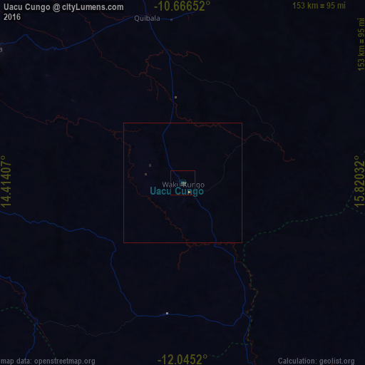
99.76%Clear (daylight) street map image can be seen on geolist.org.
Map coordinates:
10° 39' 59.5" South, 14° 24' 50.7" East
11° 21' 24.1" South, 15° 7' 1.9" East
12° 2' 42.7" South, 15° 49' 13.2" East
Some cities around Uacu Cungo sort by population:
• Huambo
171.7 km =106.7 mi,  156°
156°
• Lobito
205.3 km =127.6 mi,  236°
236°
• Sumbe
139.9 km =86.9 mi,  276°
276°
• Longonjo
173 km =107.5 mi,  175°
175°
• Caála
173.2 km =107.6 mi, 163°
• Catumbela
208.4 km =129.5 mi, 235°
• Quibala
70.9 km =44.1 mi,  347°
347°
• Chela
110.7 km =68.8 mi, 161°
3345497 (p: 10,970)
Sources (retrieved 2019-11-25):
» Earth at Night: Flat Maps 2012, 2016