Chela night lights from space
Night Light of Chela (Huambo) from space (Angola) Src. Average luminocity for 10x10km area is 0% and for 50x50km: 0.0071%.
Analysis of Chela night lights 2016
Square area 10x10 km:
 0%
0%90-99
0%80-89
0%70-79
0%60-69
0%50-59
0%40-49
0%30-39
0%20-29
0%10-19
0%0-9
100%Square area 50x50 km:
0%90-99
0%80-89
0%70-79
0%60-69
0%50-59
0%40-49
0%30-39
0%20-29
0.02%10-19
0.02%0-9
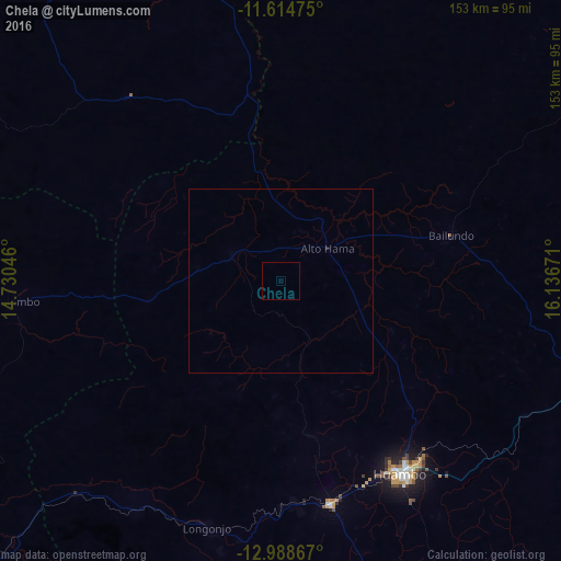
99.97%Clear (daylight) street map image can be seen on geolist.org.
Map coordinates:
11° 36' 53.1" South, 14° 43' 49.7" East
12° 18' 9.4" South, 15° 26' 0.9" East
12° 59' 19.2" South, 16° 8' 12.2" East
Some cities around Chela sort by population:
• Huambo
62.2 km =38.6 mi,  147°
147°
• Cuito
163.1 km =101.3 mi,  93°
93°
• Longonjo
70 km =43.5 mi,  196°
196°
• Caála
62.7 km =39 mi,  167°
167°
• Catabola
201.7 km =125.3 mi, 85°
• Uacu Cungo
110.7 km =68.8 mi,  341°
341°
• Caconda
164 km =101.9 mi,  194°
194°
• Quibala
181.3 km =112.7 mi, 344°
9376229 (p: 5,811)
Sources (retrieved 2019-11-25):
» Earth at Night: Flat Maps 2012, 2016