Hangu night lights from space
Night Light of Hangu (Khyber Pakhtunkhwa) from space (Pakistan) Src. Average luminocity for 10x10km area is 3.5623% and for 50x50km: 0.3532%.
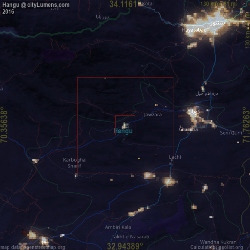
Analysis of Hangu night lights 2016
Square area 10x10 km:
 0%
0%90-99
0%80-89
0%70-79
0.92%60-69
0.55%50-59
0%40-49
1.83%30-39
2.56%20-29
1.47%10-19
0.73%0-9
91.94%Square area 50x50 km:
0%90-99
0%80-89
0.02%70-79
0.07%60-69
0.02%50-59
0.03%40-49
0.07%30-39
0.21%20-29
0.13%10-19
0.04%0-9
99.41%Clear (daylight) street map image can be seen on geolist.org.
Map coordinates:
34° 6' 58" North, 70° 21' 23" East
33° 31' 55.1" North, 71° 3' 34.2" East
32° 56' 38" North, 71° 45' 45.5" East
Some cities around Hangu sort by population:
• Peshawar
71.4 km =44.4 mi,  42°
42°
• Kohat
36.5 km =22.7 mi,  81°
81°
• Bannu
74.1 km =46 mi,  214°
214°
• Lachi
30.6 km =19 mi,  122°
122°
• Kalabagh
77.9 km =48.4 mi,  144°
144°
• Markaz-e Woluswalī-ye Āchīn, AF
73.6 km =45.7 mi,  333°
333°
• Karak
46.3 km =28.8 mi,  176°
176°
• Doaba
32.2 km =20 mi,  248°
248°
1177203 (p: 36,150)
Sources (retrieved 2019-11-25):
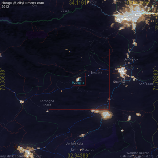
» Earth at Night: Flat Maps 2012, 2016