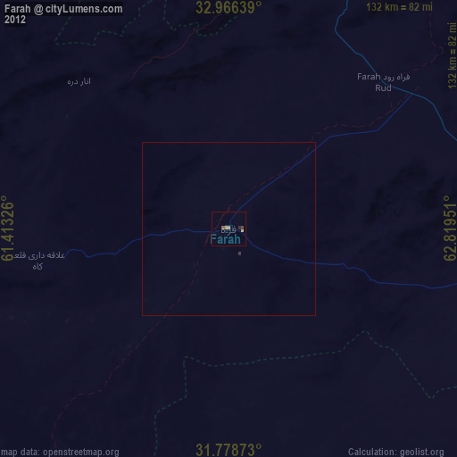
Farah night lights from space
Night Light of Farah from space (Afghanistan) Src. Average luminocity for 10x10km area is 1.0897% and for 50x50km: 0.0602%.
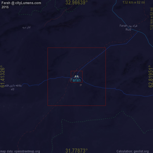
Analysis of Farah night lights 2016
Square area 10x10 km:
 0%
0%90-99
0%80-89
0%70-79
0%60-69
1.47%50-59
0%40-49
0%30-39
0%20-29
0%10-19
0.73%0-9
97.8%Square area 50x50 km:
0%90-99
0%80-89
0%70-79
0%60-69
0.06%50-59
0%40-49
0%30-39
0%20-29
0.03%10-19
0.07%0-9
99.85%Clear (daylight) street map image can be seen on geolist.org.
Map coordinates:
32° 57' 59" North, 61° 24' 47.7" East
32° 22' 28.2" North, 62° 6' 59" East
31° 46' 43.4" North, 62° 49' 10.2" East
Some cities around Farah sort by population:
• Zābol, IR
160.6 km =99.8 mi,  201°
201°
• Zaranj
159.2 km =98.9 mi,  188°
188°
• Shīnḏanḏ
103.3 km =64.2 mi,  1°
1°
• Kushk
103.6 km =64.4 mi,  351°
351°
• Khāsh
113.5 km =70.5 mi,  145°
145°
• Mīrābād
217.1 km =134.9 mi, 186°
• Chahār Burj
208.1 km =129.3 mi, 1°
• Anār Darah
60.8 km =37.8 mi,  314°
314°
1142264 (p: 43,561)
Sources (retrieved 2019-11-25):
» Earth at Night: Flat Maps 2012, 2016