Kushk night lights from space
Night Light of Kushk (Herat) from space (Afghanistan) Src. Average luminocity for 10x10km area is 0% and for 50x50km: 0%.
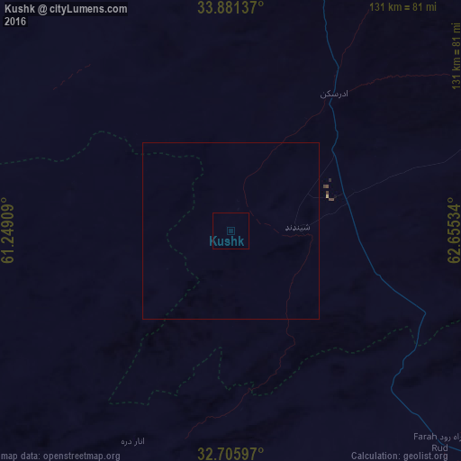
Analysis of Kushk night lights 2016
Square area 10x10 km:
 0%
0%90-99
0%80-89
0%70-79
0%60-69
0%50-59
0%40-49
0%30-39
0%20-29
0%10-19
0%0-9
100%Square area 50x50 km:
0%90-99
0%80-89
0%70-79
0%60-69
0%50-59
0%40-49
0%30-39
0%20-29
0%10-19
0%0-9
100%Clear (daylight) street map image can be seen on geolist.org.
Map coordinates:
33° 52' 52.9" North, 61° 14' 56.7" East
33° 17' 44.3" North, 61° 57' 8" East
32° 42' 21.5" North, 62° 39' 19.2" East
Some cities around Kushk sort by population:
• Herāt
119.2 km =74.1 mi,  11°
11°
• Farah
103.6 km =64.4 mi,  171°
171°
• Shīnḏanḏ
18.2 km =11.3 mi,  87°
87°
• Karukh
144.2 km =89.6 mi,  23°
23°
• Chahār Burj
107.8 km =67 mi, 11°
• Zindah Jān
118 km =73.3 mi,  350°
350°
• Anār Darah
65.9 km =40.9 mi,  204°
204°
• Tīr Pul
157.6 km =97.9 mi,  336°
336°
1135158 (p: 16,952)
Sources (retrieved 2019-11-25):
» Earth at Night: Flat Maps 2012, 2016