Khāsh night lights from space
Night Light of Khāsh (Nimroz) from space (Afghanistan) Src. Average luminocity for 10x10km area is 0% and for 50x50km: 0%.
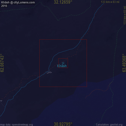
Analysis of Khāsh night lights 2016
Square area 10x10 km:
 0%
0%90-99
0%80-89
0%70-79
0%60-69
0%50-59
0%40-49
0%30-39
0%20-29
0%10-19
0%0-9
100%Square area 50x50 km:
0%90-99
0%80-89
0%70-79
0%60-69
0%50-59
0%40-49
0%30-39
0%20-29
0%10-19
0%0-9
100%Clear (daylight) street map image can be seen on geolist.org.
Map coordinates:
32° 7' 35.7" North, 62° 5' 14.7" East
31° 31' 45.1" North, 62° 47' 26" East
30° 55' 40.6" North, 63° 29' 37.2" East
Some cities around Khāsh sort by population:
• Zābol, IR
135 km =83.9 mi,  245°
245°
• Zaranj
108.8 km =67.6 mi,  234°
234°
• Lashkar Gāh
150 km =93.2 mi,  87°
87°
• Farah
113.5 km =70.5 mi,  325°
325°
• Mīrābād
151.7 km =94.3 mi,  216°
216°
• Rūdbār
154.4 km =95.9 mi,  186°
186°
• ‘Alāqahdārī Dīshū
131.2 km =81.5 mi,  158°
158°
• Markaz-e Ḩukūmat-e Darwēshān
140.4 km =87.2 mi,  108°
108°
1136863 (p: 15,133)
Sources (retrieved 2019-11-25):
» Earth at Night: Flat Maps 2012, 2016