Chahār Burj night lights from space
Night Light of Chahār Burj (Herat) from space (Afghanistan) Src. Average luminocity for 10x10km area is 10.4689% and for 50x50km: 3.668%.
Analysis of Chahār Burj night lights 2016
Square area 10x10 km:
 0%
0%90-99
0.92%80-89
0.55%70-79
1.1%60-69
1.1%50-59
1.65%40-49
3.85%30-39
2.75%20-29
2.01%10-19
7.51%0-9
78.57%Square area 50x50 km:
0.09%90-99
0.45%80-89
1.24%70-79
0.28%60-69
0.4%50-59
0.37%40-49
0.55%30-39
0.52%20-29
0.98%10-19
2.84%0-9
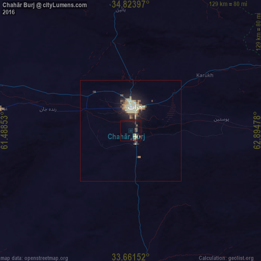
92.28%Clear (daylight) street map image can be seen on geolist.org.
Map coordinates:
34° 49' 26.3" North, 61° 29' 18.7" East
34° 14' 41.1" North, 62° 11' 29.9" East
33° 39' 41.5" North, 62° 53' 41.2" East
Some cities around Chahār Burj sort by population:
• Herāt
11.5 km =7.1 mi,  3°
3°
• Shīnḏanḏ
104.8 km =65.1 mi,  182°
182°
• Karukh
44.8 km =27.8 mi,  54°
54°
• Kushk
107.8 km =67 mi,  191°
191°
• Qarah Bāgh
86.2 km =53.6 mi,  333°
333°
• Kuhsān
101.9 km =63.3 mi,  296°
296°
• Zindah Jān
42.3 km =26.3 mi,  284°
284°
• Tīr Pul
93.1 km =57.8 mi,  294°
294°
1145866 (p: 11,935)
Sources (retrieved 2019-11-25):
» Earth at Night: Flat Maps 2012, 2016