Shīnḏanḏ night lights from space
Night Light of Shīnḏanḏ (Herat) from space (Afghanistan) Src. Average luminocity for 10x10km area is 0% and for 50x50km: 0.0977%.
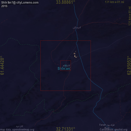
Analysis of Shīnḏanḏ night lights 2016
Square area 10x10 km:
 0%
0%90-99
0%80-89
0%70-79
0%60-69
0%50-59
0%40-49
0%30-39
0%20-29
0%10-19
0%0-9
100%Square area 50x50 km:
0%90-99
0%80-89
0.03%70-79
0%60-69
0%50-59
0%40-49
0.07%30-39
0.07%20-29
0.03%10-19
0%0-9
99.8%Clear (daylight) street map image can be seen on geolist.org.
Map coordinates:
33° 53' 19" North, 61° 26' 39.4" East
33° 18' 10.6" North, 62° 8' 50.6" East
32° 42' 47.9" North, 62° 51' 1.9" East
Some cities around Shīnḏanḏ sort by population:
• Herāt
116.3 km =72.3 mi,  2°
2°
• Farah
103.3 km =64.2 mi,  181°
181°
• Karukh
137.1 km =85.2 mi,  17°
17°
• Kushk
18.2 km =11.3 mi,  267°
267°
• Chahār Burj
104.8 km =65.1 mi, 2°
• Zindah Jān
121.4 km =75.4 mi,  342°
342°
• Anār Darah
76 km =47.2 mi,  217°
217°
• Tīr Pul
164.9 km =102.5 mi,  330°
330°
1125155 (p: 29,264)
Sources (retrieved 2019-11-25):
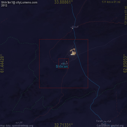
» Earth at Night: Flat Maps 2012, 2016