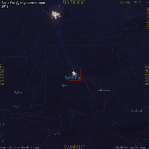
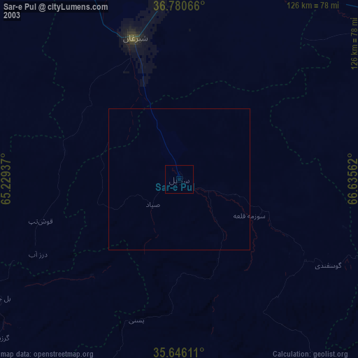
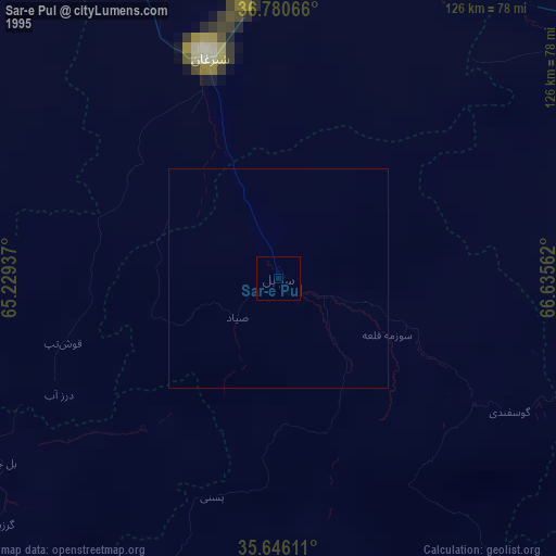
Sar-e Pul night lights from space
Night Light of Sar-e Pul (Sar-e Pol) from space (Afghanistan) Src. Average luminocity for 10x10km area is 14.3671% and for 50x50km: 0.6033%.
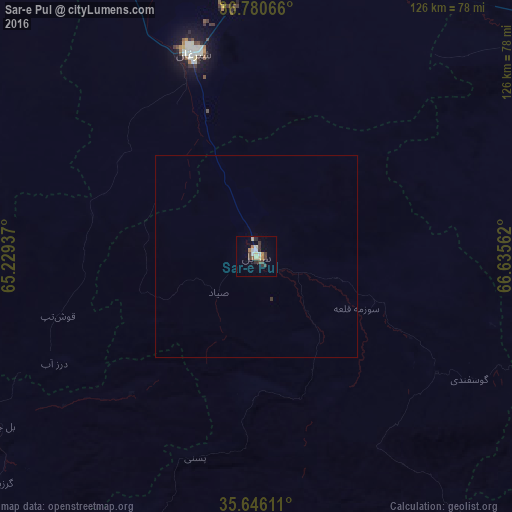
Analysis of Sar-e Pul night lights 2016
Square area 10x10 km:
 0%
0%90-99
3.5%80-89
2.8%70-79
1.75%60-69
1.05%50-59
0.7%40-49
2.97%30-39
5.24%20-29
0.87%10-19
0.35%0-9
80.77%Square area 50x50 km:
0%90-99
0.14%80-89
0.11%70-79
0.07%60-69
0.04%50-59
0.03%40-49
0.12%30-39
0.23%20-29
0.03%10-19
0.01%0-9
99.21%Clear (daylight) street map image can be seen on geolist.org.
Map coordinates:
36° 46' 50.4" North, 65° 13' 45.7" East
36° 12' 55.6" North, 65° 55' 57" East
35° 38' 46" North, 66° 38' 8.2" East
Some cities around Sar-e Pul sort by population:
• Shibirghān
52.8 km =32.8 mi,  342°
342°
• Sang-e Chārak
60.9 km =37.8 mi,  131°
131°
• Chīras
88.9 km =55.2 mi,  177°
177°
• Tukzār
53 km =32.9 mi,  124°
124°
• Larkird
104.2 km =64.7 mi,  140°
140°
• Darzāb
56.4 km =35 mi,  242°
242°
• Tagāw-Bāy
58.5 km =36.4 mi,  168°
168°
• Qal‘ah-ye Shahr
81.2 km =50.5 mi,  203°
203°
1127110 (p: 52,121)
Sources (retrieved 2019-11-25):
» NASA, Earths city lights 1995
» NASA city lights 2003
» Earth at Night: Flat Maps 2012, 2016