Maymana night lights from space
Night Light of Maymana (Faryab) from space (Afghanistan) Src. Average luminocity for 10x10km area is 23.8956% and for 50x50km: 1.0437%.
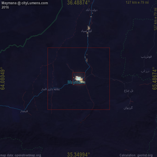
Analysis of Maymana night lights 2016
Square area 10x10 km:
 0%
0%90-99
8.06%80-89
2.93%70-79
1.83%60-69
3.3%50-59
1.47%40-49
5.49%30-39
3.66%20-29
1.65%10-19
17.22%0-9
54.4%Square area 50x50 km:
0%90-99
0.31%80-89
0.11%70-79
0.07%60-69
0.13%50-59
0.06%40-49
0.21%30-39
0.2%20-29
0.13%10-19
0.71%0-9
98.08%Clear (daylight) street map image can be seen on geolist.org.
Map coordinates:
36° 29' 19.5" North, 64° 4' 49.8" East
35° 55' 17" North, 64° 47' 1" East
35° 20' 59.8" North, 65° 29' 12.3" East
Some cities around Maymana sort by population:
• Shibirghān
120.1 km =74.6 mi,  46°
46°
• Sar-e Pul
108.3 km =67.3 mi,  72°
72°
• Ghormach
92.7 km =57.6 mi,  256°
256°
• Andkhōy
118.7 km =73.8 mi,  14°
14°
• Chīras
122 km =75.8 mi,  117°
117°
• Darzāb
53.9 km =33.5 mi,  83°
83°
• Tagāw-Bāy
117.9 km =73.3 mi,  102°
102°
• Qal‘ah-ye Shahr
82.1 km =51 mi, 120°
1133453 (p: 75,900)
Sources (retrieved 2019-11-25):
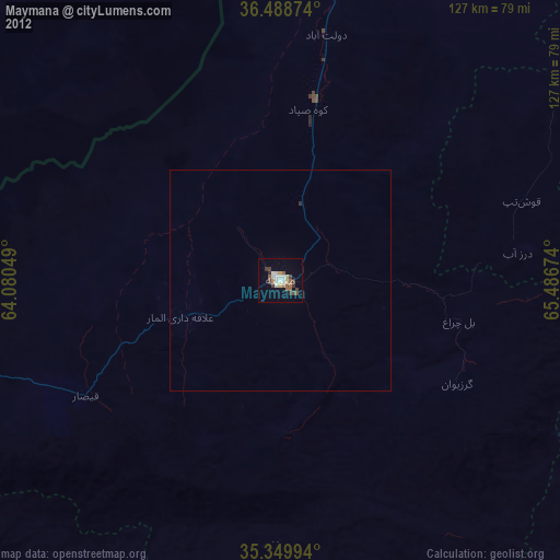
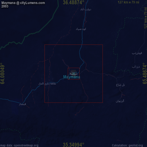
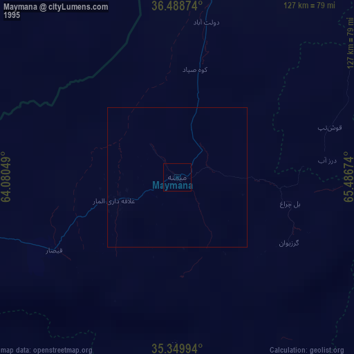
» NASA, Earths city lights 1995
» NASA city lights 2003
» Earth at Night: Flat Maps 2012, 2016