Rusape night lights from space
Night Light of Rusape (Manicaland) from space (Zimbabwe) Src. Average luminocity for 10x10km area is 8.8388% and for 50x50km: 0.4858%.
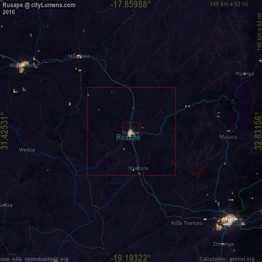
Analysis of Rusape night lights 2016
Square area 10x10 km:
 0.62%
0.62%90-99
0.21%80-89
0.21%70-79
1.45%60-69
3.93%50-59
2.07%40-49
1.45%30-39
1.86%20-29
1.45%10-19
0%0-9
86.78%Square area 50x50 km:
0.02%90-99
0.01%80-89
0.01%70-79
0.06%60-69
0.15%50-59
0.09%40-49
0.18%30-39
0.14%20-29
0.19%10-19
0%0-9
99.16%Clear (daylight) street map image can be seen on geolist.org.
Map coordinates:
17° 51' 35.6" South, 31° 25' 31.1" East
18° 31' 40.3" South, 32° 7' 42.3" East
19° 11' 35.6" South, 32° 49' 53.6" East
Some cities around Rusape sort by population:
• Chitungwiza
125.1 km =77.7 mi,  297°
297°
• Mutare
75.4 km =46.9 mi,  130°
130°
• Epworth
125.6 km =78 mi, 304°
• Marondera
71.8 km =44.6 mi, 302°
• Ruwa
117.2 km =72.8 mi,  307°
307°
• Mutoko
126.2 km =78.4 mi,  4°
4°
• Murehwa
104.9 km =65.2 mi,  339°
339°
• Penhalonga
72.3 km =44.9 mi,  123°
123°
882100 (p: 29,292)
Sources (retrieved 2019-11-25):
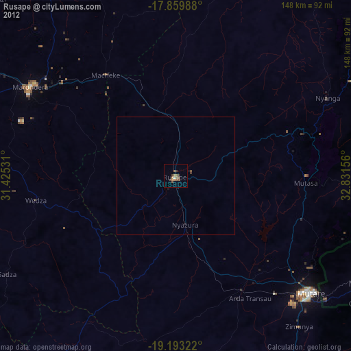
» Earth at Night: Flat Maps 2012, 2016