Mutare night lights from space
Night Light of Mutare (Manicaland) from space (Zimbabwe) Src. Average luminocity for 10x10km area is 37.8506% and for 50x50km: 3.1111%.
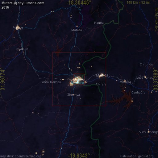
Analysis of Mutare night lights 2016
Square area 10x10 km:
 4.98%
4.98%90-99
7.58%80-89
3.03%70-79
5.63%60-69
8.87%50-59
6.06%40-49
4.76%30-39
1.3%20-29
6.06%10-19
32.47%0-9
19.26%Square area 50x50 km:
0.26%90-99
0.34%80-89
0.18%70-79
0.34%60-69
0.75%50-59
0.63%40-49
0.65%30-39
0.3%20-29
0.41%10-19
2.5%0-9
93.64%Clear (daylight) street map image can be seen on geolist.org.
Map coordinates:
18° 18' 16" South, 31° 58' 3.9" East
18° 58' 14.5" South, 32° 40' 15.1" East
19° 38' 3.5" South, 33° 22' 26.4" East
Some cities around Mutare sort by population:
• Chimoio, MZ
86.9 km =54 mi,  100°
100°
• Marondera
146.7 km =91.2 mi,  306°
306°
• Rusape
75.4 km =46.9 mi, 310°
• Chipinge
135.5 km =84.2 mi,  182°
182°
• Chivhu
187.1 km =116.3 mi,  268°
268°
• Mutoko
181.2 km =112.6 mi,  344°
344°
• Murehwa
174.8 km =108.6 mi,  327°
327°
• Penhalonga
9.3 km =5.8 mi,  17°
17°
884979 (p: 184,205)
Sources (retrieved 2019-11-25):
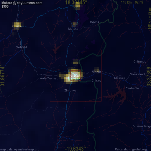
» NASA, Earths city lights 1995
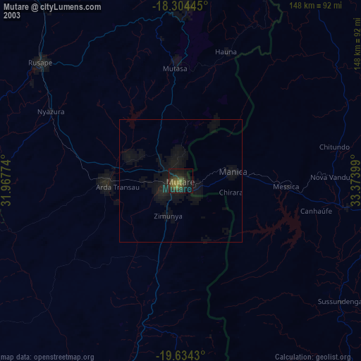
» NASA city lights 2003
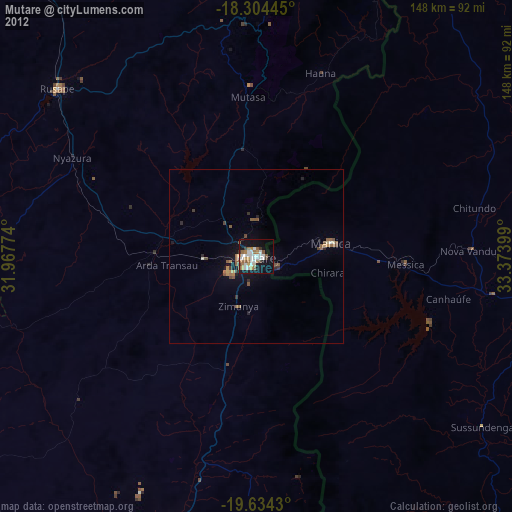
» Earth at Night: Flat Maps 2012, 2016