Chitungwiza night lights from space
Night Light of Chitungwiza (Harare) from space (Zimbabwe) Src. Average luminocity for 10x10km area is 55.4719% and for 50x50km: 20.2313%.
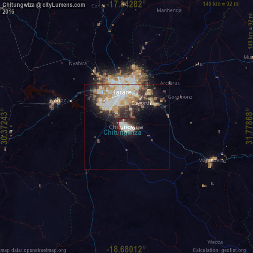

Analysis of Chitungwiza night lights 2016
Square area 10x10 km:
 17.97%
90-99
15.37%80-89
1.73%70-79
2.81%60-69
5.63%50-59
3.25%40-49
7.36%30-39
6.93%20-29
22.51%10-19
16.45%0-9
0%Square area 50x50 km:
4.08%90-99
4.25%80-89
2.08%70-79
3.21%60-69
2.71%50-59
2.12%40-49
2.89%30-39
3.02%20-29
4.44%10-19
7.1%0-9
64.1%Clear (daylight) street map image can be seen on geolist.org.
Map coordinates:
17° 20' 34.2" South, 30° 22' 20.7" East
18° 0' 45.9" South, 31° 4' 32" East
18° 40' 48.4" South, 31° 46' 43.2" East
Some cities around Chitungwiza sort by population:
• Harare
20.7 km =12.9 mi,  353°
353°
• Epworth
15.6 km =9.7 mi,  29°
29°
• Marondera
53.9 km =33.5 mi,  110°
110°
• Norton
42.3 km =26.3 mi,  289°
289°
• Bindura
83.5 km =51.9 mi,  18°
18°
• Ruwa
22.5 km =14 mi,  52°
52°
• Mazowe
57.6 km =35.8 mi, 349°
• Glendale
73.1 km =45.4 mi,  359°
359°
1106542 (p: 340,360)
Sources (retrieved 2019-11-25):
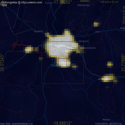
» NASA, Earths city lights 1995
» NASA city lights 2003
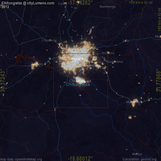
» Earth at Night: Flat Maps 2012, 2016