Epworth night lights from space
Night Light of Epworth (Harare) from space (Zimbabwe) Src. Average luminocity for 10x10km area is 37.9978% and for 50x50km: 26.5605%.
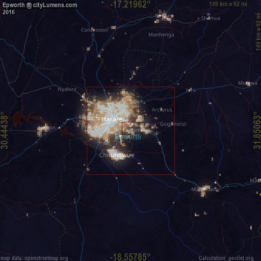
Analysis of Epworth night lights 2016
Square area 10x10 km:
 1.08%
1.08%90-99
1.52%80-89
2.6%70-79
6.28%60-69
8.23%50-59
9.74%40-49
15.58%30-39
9.31%20-29
19.7%10-19
18.83%0-9
7.14%Square area 50x50 km:
5.19%90-99
5.42%80-89
2.48%70-79
4.49%60-69
3.93%50-59
3.43%40-49
4.11%30-39
3.62%20-29
5.28%10-19
8.77%0-9
53.27%Clear (daylight) street map image can be seen on geolist.org.
Map coordinates:
17° 13' 10.6" South, 30° 26' 39.8" East
17° 53' 24" South, 31° 8' 51" East
18° 33' 28.3" South, 31° 51' 2.3" East
Some cities around Epworth sort by population:
• Harare
12.1 km =7.5 mi,  304°
304°
• Chitungwiza
15.6 km =9.7 mi,  209°
209°
• Marondera
53.9 km =33.5 mi,  127°
127°
• Norton
47.4 km =29.5 mi,  270°
270°
• Bindura
68.2 km =42.4 mi,  16°
16°
• Ruwa
10.3 km =6.4 mi,  89°
89°
• Mazowe
46.7 km =29 mi,  336°
336°
• Glendale
60.1 km =37.3 mi,  351°
351°
1085510 (p: 123,250)
Sources (retrieved 2019-11-25):
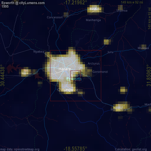
» NASA, Earths city lights 1995
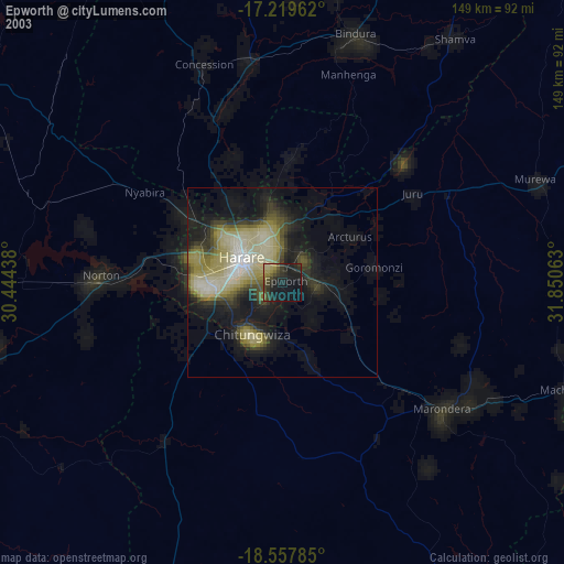
» NASA city lights 2003
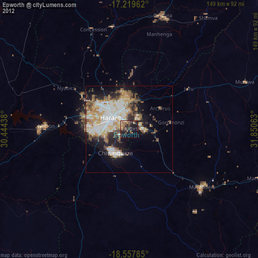
» Earth at Night: Flat Maps 2012, 2016