Mutoko night lights from space
Night Light of Mutoko (Mashonaland East) from space (Zimbabwe) Src. Average luminocity for 10x10km area is 4.4298% and for 50x50km: 0.201%.
Analysis of Mutoko night lights 2016
Square area 10x10 km:
 0%
0%90-99
0%80-89
0%70-79
0%60-69
0%50-59
2.07%40-49
5.79%30-39
0%20-29
0.83%10-19
0%0-9
91.32%Square area 50x50 km:
0%90-99
0%80-89
0%70-79
0%60-69
0%50-59
0.1%40-49
0.26%30-39
0%20-29
0.03%10-19
0%0-9
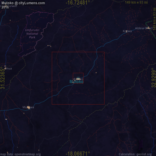
99.61%Clear (daylight) street map image can be seen on geolist.org.
Map coordinates:
16° 43' 29.3" South, 31° 31' 25.1" East
17° 23' 49.2" South, 32° 13' 36.4" East
18° 4' 0.2" South, 32° 55' 47.6" East
Some cities around Mutoko sort by population:
• Marondera
113.1 km =70.3 mi,  219°
219°
• Bindura
95.7 km =59.5 mi,  276°
276°
• Ruwa
117.6 km =73.1 mi,  242°
242°
• Rusape
126.2 km =78.4 mi,  184°
184°
• Shamva
69.8 km =43.4 mi, 277°
• Glendale
123.1 km =76.5 mi,  272°
272°
• Murehwa
54.3 km =33.7 mi, 239°
• Mount Darwin
97.4 km =60.5 mi,  315°
315°
884927 (p: 9,532)
Sources (retrieved 2019-11-25):
» Earth at Night: Flat Maps 2012, 2016