Penhalonga night lights from space
Night Light of Penhalonga (Manicaland) from space (Zimbabwe) Src. Average luminocity for 10x10km area is 2.5152% and for 50x50km: 3.1388%.
Analysis of Penhalonga night lights 2016
Square area 10x10 km:
 0%
0%90-99
0%80-89
0%70-79
0%60-69
0.87%50-59
0%40-49
0.87%30-39
0.87%20-29
0%10-19
1.08%0-9
96.32%Square area 50x50 km:
0.26%90-99
0.34%80-89
0.18%70-79
0.34%60-69
0.75%50-59
0.63%40-49
0.66%30-39
0.32%20-29
0.41%10-19
2.5%0-9
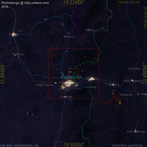
93.61%Clear (daylight) street map image can be seen on geolist.org.
Map coordinates:
18° 13' 28.4" South, 31° 59' 40.9" East
18° 53' 28" South, 32° 41' 52.1" East
19° 33' 18.1" South, 33° 24' 3.4" East
Some cities around Penhalonga sort by population:
• Chimoio, MZ
86.3 km =53.6 mi,  106°
106°
• Mutare
9.3 km =5.8 mi,  197°
197°
• Marondera
144.1 km =89.5 mi,  303°
303°
• Ruwa
189.5 km =117.7 mi,  305°
305°
• Rusape
72.3 km =44.9 mi, 303°
• Chipinge
144.4 km =89.7 mi,  183°
183°
• Mutoko
173.4 km =107.7 mi,  343°
343°
• Murehwa
169 km =105 mi,  325°
325°
882955 (p: 7,681)
Sources (retrieved 2019-11-25):
» Earth at Night: Flat Maps 2012, 2016