Marondera night lights from space
Night Light of Marondera (Mashonaland East) from space (Zimbabwe) Src. Average luminocity for 10x10km area is 19.4935% and for 50x50km: 1.1561%.
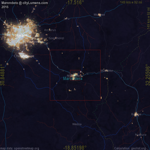
Analysis of Marondera night lights 2016
Square area 10x10 km:
 0%
0%90-99
1.3%80-89
1.52%70-79
4.98%60-69
2.81%50-59
4.11%40-49
8.44%30-39
2.81%20-29
2.38%10-19
3.03%0-9
68.61%Square area 50x50 km:
0.02%90-99
0.06%80-89
0.06%70-79
0.22%60-69
0.1%50-59
0.27%40-49
0.43%30-39
0.37%20-29
0.27%10-19
0.19%0-9
98.02%Clear (daylight) street map image can be seen on geolist.org.
Map coordinates:
17° 30' 57.6" South, 30° 50' 55.7" East
18° 11' 7" South, 31° 33' 6.9" East
18° 51' 7.1" South, 32° 15' 18.2" East
Some cities around Marondera sort by population:
• Harare
66 km =41 mi,  307°
307°
• Chitungwiza
53.9 km =33.5 mi,  290°
290°
• Epworth
53.9 km =33.5 mi, 307°
• Norton
96.1 km =59.7 mi, 290°
• Ruwa
46.2 km =28.7 mi,  315°
315°
• Rusape
71.8 km =44.6 mi,  122°
122°
• Shamva
97.2 km =60.4 mi,  1°
1°
• Murehwa
65.1 km =40.5 mi,  22°
22°
886990 (p: 57,082)
Sources (retrieved 2019-11-25):
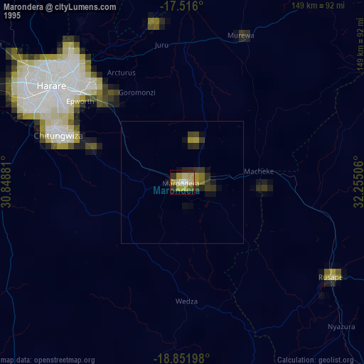
» NASA, Earths city lights 1995
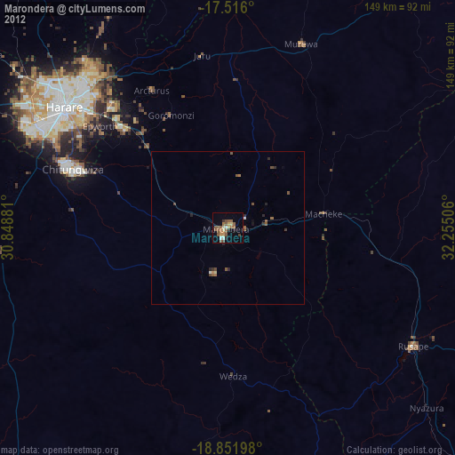
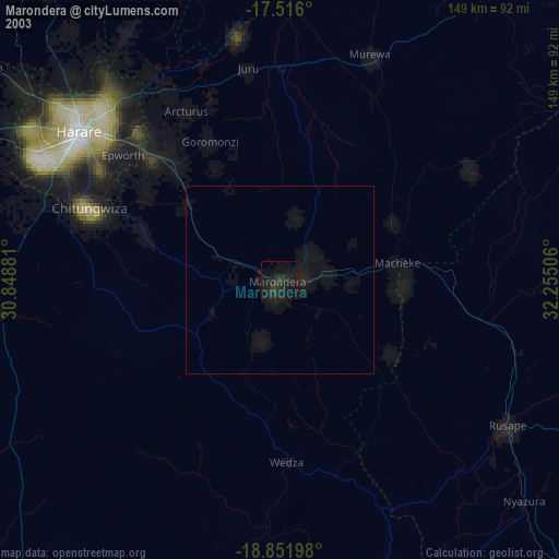
» NASA city lights 2003
» Earth at Night: Flat Maps 2012, 2016