Chegutu night lights from space
Night Light of Chegutu (Mashonaland West) from space (Zimbabwe) Src. Average luminocity for 10x10km area is 10.6991% and for 50x50km: 0.9573%.
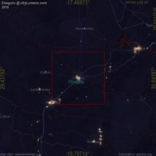
Analysis of Chegutu night lights 2016
Square area 10x10 km:
 0%
0%90-99
0%80-89
0%70-79
1.3%60-69
3.9%50-59
3.46%40-49
4.55%30-39
1.95%20-29
4.55%10-19
0.22%0-9
80.09%Square area 50x50 km:
0.02%90-99
0.01%80-89
0%70-79
0.18%60-69
0.25%50-59
0.24%40-49
0.43%30-39
0.23%20-29
0.21%10-19
0.1%0-9
98.34%Clear (daylight) street map image can be seen on geolist.org.
Map coordinates:
17° 27' 38.6" South, 29° 26' 15.4" East
18° 7' 48.8" South, 30° 8' 26.7" East
18° 47' 49.7" South, 30° 50' 37.9" East
Some cities around Chegutu sort by population:
• Harare
102.2 km =63.5 mi,  70°
70°
• Chitungwiza
99.7 km =62 mi,  82°
82°
• Kwekwe
95.1 km =59.1 mi,  201°
201°
• Kadoma
32.8 km =20.4 mi,  226°
226°
• Chinhoyi
85.1 km =52.9 mi,  4°
4°
• Norton
65.2 km =40.5 mi, 65°
• Banket
87.5 km =54.4 mi,  18°
18°
• Chakari
27.3 km =17 mi,  285°
285°
894239 (p: 47,294)
Sources (retrieved 2019-11-25):
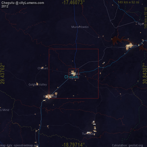
» Earth at Night: Flat Maps 2012, 2016