Chakari night lights from space
Night Light of Chakari (Mashonaland West) from space (Zimbabwe) Src. Average luminocity for 10x10km area is 0.7511% and for 50x50km: 0.2891%.
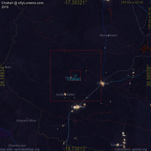
Analysis of Chakari night lights 2016
Square area 10x10 km:
 0%
0%90-99
0%80-89
0%70-79
0%60-69
0.87%50-59
0%40-49
0%30-39
0%20-29
0%10-19
0.87%0-9
98.27%Square area 50x50 km:
0%90-99
0%80-89
0%70-79
0.03%60-69
0.07%50-59
0.12%40-49
0.05%30-39
0.11%20-29
0.08%10-19
0.1%0-9
99.43%Clear (daylight) street map image can be seen on geolist.org.
Map coordinates:
17° 23' 35.6" South, 29° 11' 21.6" East
18° 3' 46.6" South, 29° 53' 32.9" East
18° 43' 48.5" South, 30° 35' 44.1" East
Some cities around Chakari sort by population:
• Kwekwe
96.5 km =60 mi,  184°
184°
• Kadoma
30.2 km =18.8 mi, 175°
• Chinhoyi
84 km =52.2 mi,  22°
22°
• Norton
87.7 km =54.5 mi,  76°
76°
• Chegutu
27.3 km =17 mi,  105°
105°
• Redcliff
108.5 km =67.4 mi,  186°
186°
• Gokwe
102.4 km =63.6 mi,  261°
261°
• Banket
92.7 km =57.6 mi,  35°
35°
894413 (p: 6,472)
Sources (retrieved 2019-11-25):
» Earth at Night: Flat Maps 2012, 2016