Mazowe night lights from space
Night Light of Mazowe (Mashonaland Central) from space (Zimbabwe) Src. Average luminocity for 10x10km area is 1.5372% and for 50x50km: 2.3471%.
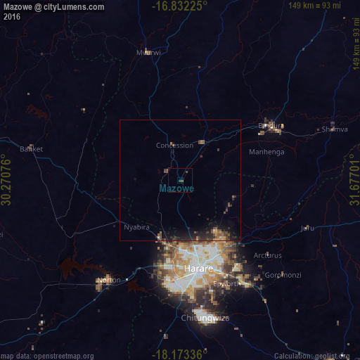
Analysis of Mazowe night lights 2016
Square area 10x10 km:
 0%
0%90-99
0%80-89
0%70-79
0%60-69
0%50-59
0.83%40-49
0.83%30-39
0.83%20-29
0%10-19
1.24%0-9
96.28%Square area 50x50 km:
0.01%90-99
0.07%80-89
0.03%70-79
0.28%60-69
0.36%50-59
0.49%40-49
0.9%30-39
0.61%20-29
1.22%10-19
2.44%0-9
93.58%Clear (daylight) street map image can be seen on geolist.org.
Map coordinates:
16° 49' 56.1" South, 30° 16' 14.7" East
17° 30' 14.5" South, 30° 58' 26" East
18° 10' 24.1" South, 31° 40' 37.2" East
Some cities around Mazowe sort by population:
• Harare
37 km =23 mi,  166°
166°
• Chitungwiza
57.6 km =35.8 mi, 169°
• Epworth
46.7 km =29 mi,  156°
156°
• Norton
51.2 km =31.8 mi,  214°
214°
• Bindura
44 km =27.3 mi,  59°
59°
• Ruwa
51.6 km =32.1 mi,  146°
146°
• Glendale
19.3 km =12 mi,  30°
30°
• Mvurwi
54 km =33.6 mi,  345°
345°
886384 (p: 9,966)
Sources (retrieved 2019-11-25):
» Earth at Night: Flat Maps 2012, 2016