Mvurwi night lights from space
Night Light of Mvurwi (Mashonaland Central) from space (Zimbabwe) Src. Average luminocity for 10x10km area is 3.3658% and for 50x50km: 0.1673%.
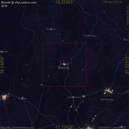
Analysis of Mvurwi night lights 2016
Square area 10x10 km:
 0%
0%90-99
0%80-89
0%70-79
0.87%60-69
0%50-59
1.73%40-49
2.6%30-39
0.87%20-29
0%10-19
0%0-9
93.94%Square area 50x50 km:
0%90-99
0%80-89
0%70-79
0.03%60-69
0%50-59
0.06%40-49
0.13%30-39
0.1%20-29
0%10-19
0%0-9
99.68%Clear (daylight) street map image can be seen on geolist.org.
Map coordinates:
16° 21' 35.5" South, 30° 8' 48.8" East
17° 1' 60" South, 30° 51' 0" East
17° 42' 15.8" South, 31° 33' 11.3" East
Some cities around Mvurwi sort by population:
• Chinhoyi
78.4 km =48.7 mi,  241°
241°
• Bindura
59.1 km =36.7 mi,  120°
120°
• Shamva
83.1 km =51.6 mi,  111°
111°
• Mazowe
54 km =33.6 mi,  165°
165°
• Glendale
42.6 km =26.5 mi,  147°
147°
• Banket
61.6 km =38.3 mi,  230°
230°
• Mhangura
74.1 km =46 mi,  282°
282°
• Mount Darwin
83.3 km =51.8 mi,  69°
69°
884798 (p: 7,970)
Sources (retrieved 2019-11-25):
» Earth at Night: Flat Maps 2012, 2016