Bindura night lights from space
Night Light of Bindura (Mashonaland Central) from space (Zimbabwe) Src. Average luminocity for 10x10km area is 17.9855% and for 50x50km: 0.867%.
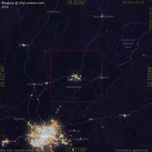
Analysis of Bindura night lights 2016
Square area 10x10 km:
 1.45%
1.45%90-99
1.03%80-89
0.21%70-79
1.45%60-69
0.21%50-59
8.06%40-49
6.61%30-39
8.06%20-29
3.93%10-19
2.27%0-9
66.74%Square area 50x50 km:
0.06%90-99
0.05%80-89
0.03%70-79
0.06%60-69
0.01%50-59
0.32%40-49
0.28%30-39
0.41%20-29
0.18%10-19
0.12%0-9
98.48%Clear (daylight) street map image can be seen on geolist.org.
Map coordinates:
16° 37' 45.8" South, 30° 37' 38.8" East
17° 18' 6.9" South, 31° 19' 50" East
17° 58' 19.2" South, 32° 2' 1.3" East
Some cities around Bindura sort by population:
• Harare
65.4 km =40.6 mi,  206°
206°
• Ruwa
66 km =41 mi,  187°
187°
• Shamva
26 km =16.2 mi,  92°
92°
• Mazowe
44 km =27.3 mi,  239°
239°
• Glendale
28.6 km =17.8 mi,  258°
258°
• Murehwa
61.3 km =38.1 mi,  128°
128°
• Mvurwi
59.1 km =36.7 mi,  300°
300°
• Mount Darwin
64.7 km =40.2 mi,  24°
24°
895061 (p: 37,423)
Sources (retrieved 2019-11-25):
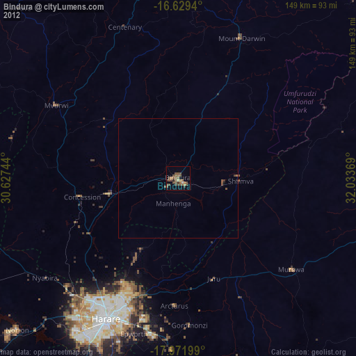
» Earth at Night: Flat Maps 2012, 2016