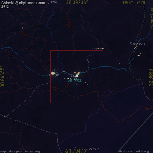
Chiredzi night lights from space
Night Light of Chiredzi (Masvingo) from space (Zimbabwe) Src. Average luminocity for 10x10km area is 10.8634% and for 50x50km: 0.8369%.
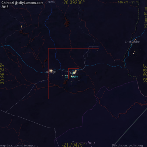
Analysis of Chiredzi night lights 2016
Square area 10x10 km:
 0.41%
0.41%90-99
0.41%80-89
2.48%70-79
4.76%60-69
0.21%50-59
0%40-49
3.11%30-39
1.66%20-29
1.04%10-19
0%0-9
85.92%Square area 50x50 km:
0.04%90-99
0.06%80-89
0.1%70-79
0.22%60-69
0.03%50-59
0.04%40-49
0.37%30-39
0.23%20-29
0.15%10-19
0.09%0-9
98.67%Clear (daylight) street map image can be seen on geolist.org.
Map coordinates:
20° 23' 32.5" South, 30° 57' 48.8" East
21° 3' 0" South, 31° 40' 0" East
21° 42' 17.1" South, 32° 22' 11.3" East
Some cities around Chiredzi sort by population:
• Masvingo
140.2 km =87.1 mi,  321°
321°
• Thohoyandou, ZA
243.4 km =151.2 mi,  210°
210°
• Zvishavane
184.9 km =114.9 mi,  295°
295°
• Beitbridge
215.6 km =134 mi,  233°
233°
• Chipinge
138.2 km =85.9 mi,  46°
46°
• Shurugwi
231.3 km =143.7 mi,  311°
311°
• Mashava
167 km =103.8 mi, 312°
• Chivhu
239.7 km =148.9 mi,  340°
340°
893485 (p: 28,205)
Sources (retrieved 2019-11-25):
» Earth at Night: Flat Maps 2012, 2016