Shamva night lights from space
Night Light of Shamva (Mashonaland Central) from space (Zimbabwe) Src. Average luminocity for 10x10km area is 1.9938% and for 50x50km: 0.4175%.
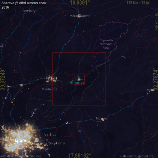
Analysis of Shamva night lights 2016
Square area 10x10 km:
 0%
0%90-99
0%80-89
0%70-79
0%60-69
0%50-59
0.21%40-49
1.03%30-39
2.69%20-29
0.21%10-19
1.65%0-9
94.21%Square area 50x50 km:
0.02%90-99
0.02%80-89
0.01%70-79
0.06%60-69
0%50-59
0.13%40-49
0.15%30-39
0.24%20-29
0.07%10-19
0.06%0-9
99.25%Clear (daylight) street map image can be seen on geolist.org.
Map coordinates:
16° 38' 20.8" South, 30° 52' 21" East
17° 18' 41.7" South, 31° 34' 32.2" East
17° 58' 53.8" South, 32° 16' 43.5" East
Some cities around Shamva sort by population:
• Epworth
78.7 km =48.9 mi,  215°
215°
• Bindura
26 km =16.2 mi,  272°
272°
• Ruwa
73.2 km =45.5 mi,  208°
208°
• Mazowe
67.3 km =41.8 mi,  251°
251°
• Glendale
54.2 km =33.7 mi,  264°
264°
• Mutoko
69.8 km =43.4 mi,  97°
97°
• Murehwa
43 km =26.7 mi,  149°
149°
• Mount Darwin
59.9 km =37.2 mi,  0°
0°
881345 (p: 10,317)
Sources (retrieved 2019-11-25):
» Earth at Night: Flat Maps 2012, 2016