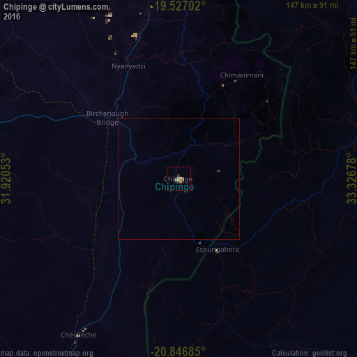
Chipinge night lights from space
Night Light of Chipinge (Manicaland) from space (Zimbabwe) Src. Average luminocity for 10x10km area is 5.5734% and for 50x50km: 0.2384%.
Analysis of Chipinge night lights 2016
Square area 10x10 km:
 0%
0%90-99
0%80-89
0%70-79
0.99%60-69
2.98%50-59
0.99%40-49
2.18%30-39
1.59%20-29
0%10-19
0.79%0-9
90.48%Square area 50x50 km:
0%90-99
0%80-89
0%70-79
0.04%60-69
0.12%50-59
0.04%40-49
0.12%30-39
0.06%20-29
0%10-19
0.03%0-9
99.59%Clear (daylight) street map image can be seen on geolist.org.
Map coordinates:
19° 31' 37.3" South, 31° 55' 13.9" East
20° 11' 18" South, 32° 37' 25.1" East
20° 50' 48.7" South, 33° 19' 36.4" East
Some cities around Chipinge sort by population:
• Chimoio, MZ
149.4 km =92.8 mi,  37°
37°
• Mutare
135.5 km =84.2 mi,  2°
2°
• Masvingo
188 km =116.8 mi,  274°
274°
• Rusape
191.8 km =119.2 mi,  344°
344°
• Chiredzi
138.2 km =85.9 mi,  226°
226°
• Mashava
224.2 km =139.3 mi, 274°
• Chivhu
223 km =138.6 mi,  305°
305°
• Penhalonga
144.4 km =89.7 mi, 3°
893549 (p: 18,860)
Sources (retrieved 2019-11-25):
» Earth at Night: Flat Maps 2012, 2016