Chinhoyi night lights from space
Night Light of Chinhoyi (Mashonaland West) from space (Zimbabwe) Src. Average luminocity for 10x10km area is 19.5227% and for 50x50km: 0.9803%.
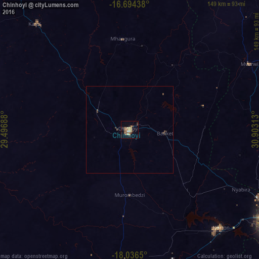
Analysis of Chinhoyi night lights 2016
Square area 10x10 km:
 0.83%
0.83%90-99
1.65%80-89
1.24%70-79
4.55%60-69
5.79%50-59
4.96%40-49
1.24%30-39
3.72%20-29
2.48%10-19
2.48%0-9
71.07%Square area 50x50 km:
0.03%90-99
0.06%80-89
0.05%70-79
0.18%60-69
0.23%50-59
0.25%40-49
0.22%30-39
0.17%20-29
0.17%10-19
0.1%0-9
98.54%Clear (daylight) street map image can be seen on geolist.org.
Map coordinates:
16° 41' 39.8" South, 29° 29' 48.8" East
17° 22' 0" South, 30° 12' 0" East
18° 2' 11.4" South, 30° 54' 11.3" East
Some cities around Chinhoyi sort by population:
• Norton
78.2 km =48.6 mi,  137°
137°
• Chegutu
85.1 km =52.9 mi,  184°
184°
• Karoi
82.1 km =51 mi,  318°
318°
• Mazowe
83.5 km =51.9 mi,  100°
100°
• Banket
21.3 km =13.2 mi,  94°
94°
• Mvurwi
78.4 km =48.7 mi,  61°
61°
• Mhangura
52.7 km =32.7 mi,  356°
356°
• Chakari
84 km =52.2 mi,  202°
202°
893697 (p: 61,739)
Sources (retrieved 2019-11-25):
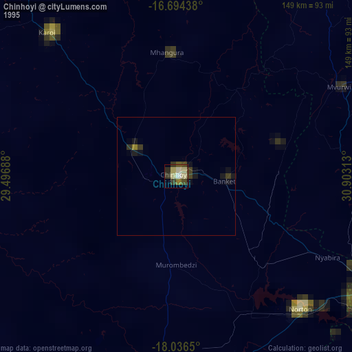
» NASA, Earths city lights 1995
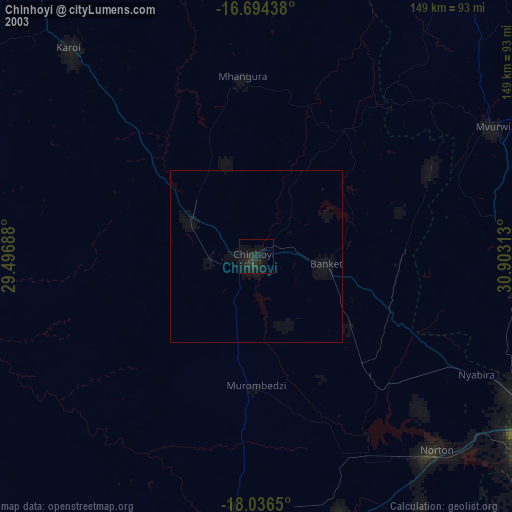
» NASA city lights 2003
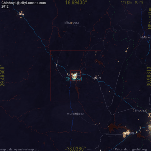
» Earth at Night: Flat Maps 2012, 2016