Sinazongwe night lights from space
Night Light of Sinazongwe (Southern) from space (Zambia) Src. Average luminocity for 10x10km area is 0.5682% and for 50x50km: 0.4641%.
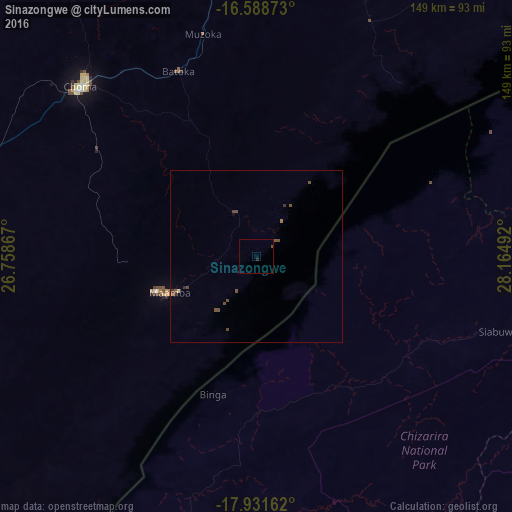
Analysis of Sinazongwe night lights 2016
Square area 10x10 km:
 0%
0%90-99
0%80-89
0%70-79
0%60-69
0%50-59
0.21%40-49
0.21%30-39
0%20-29
0.83%10-19
0%0-9
98.76%Square area 50x50 km:
0%90-99
0%80-89
0.03%70-79
0.03%60-69
0.06%50-59
0.22%40-49
0.28%30-39
0.09%20-29
0.07%10-19
0.02%0-9
99.2%Clear (daylight) street map image can be seen on geolist.org.
Map coordinates:
16° 35' 19.4" South, 26° 45' 31.2" East
17° 15' 41" South, 27° 27' 42.4" East
17° 55' 53.8" South, 28° 9' 53.7" East
Some cities around Sinazongwe sort by population:
• Mazabuka
159.2 km =98.9 mi,  11°
11°
• Choma
71.2 km =44.2 mi,  314°
314°
• Hwange, ZW
159.5 km =99.1 mi,  219°
219°
• Monze
108.8 km =67.6 mi,  1°
1°
• Kariba, ZW
164.7 km =102.3 mi,  59°
59°
• Siavonga
155.1 km =96.4 mi, 58°
• Maamba
35.1 km =21.8 mi,  250°
250°
• Nakambala
162.5 km =101 mi, 12°
897456 (p: 11,528)
Sources (retrieved 2019-11-25):
» Earth at Night: Flat Maps 2012, 2016