Kariba night lights from space
Night Light of Kariba (Mashonaland West) from space (Zimbabwe) Src. Average luminocity for 10x10km area is 14.4318% and for 50x50km: 1.2307%.
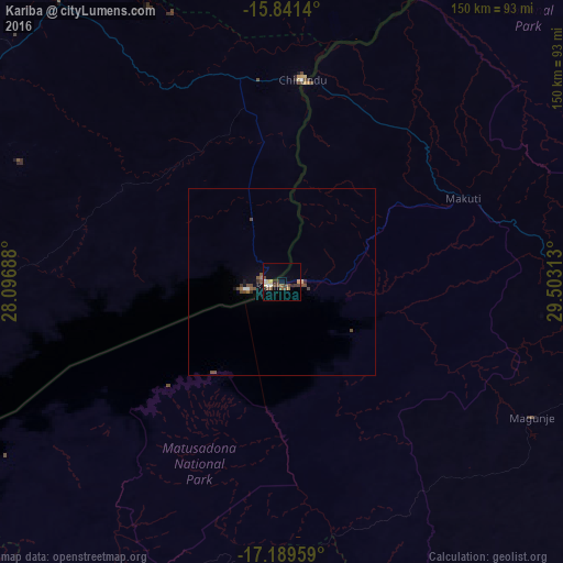
Analysis of Kariba night lights 2016
Square area 10x10 km:
 0.62%
0.62%90-99
2.07%80-89
1.45%70-79
1.45%60-69
1.03%50-59
2.48%40-49
5.58%30-39
3.93%20-29
1.24%10-19
0.83%0-9
79.34%Square area 50x50 km:
0.08%90-99
0.09%80-89
0.08%70-79
0.07%60-69
0.15%50-59
0.27%40-49
0.6%30-39
0.24%20-29
0.1%10-19
0.22%0-9
98.09%Clear (daylight) street map image can be seen on geolist.org.
Map coordinates:
15° 50' 29" South, 28° 5' 48.8" East
16° 31' 0" South, 28° 48' 0" East
17° 11' 22.5" South, 29° 30' 11.3" East
Some cities around Kariba sort by population:
• Lusaka, ZM
135 km =83.9 mi,  336°
336°
• Mazabuka, ZM
134.2 km =83.4 mi,  303°
303°
• Kafue, ZM
106.2 km =66 mi,  321°
321°
• Monze, ZM
142.8 km =88.7 mi,  280°
280°
• Karoi
100.5 km =62.4 mi,  108°
108°
• Siavonga, ZM
10 km =6.2 mi,  256°
256°
• Nakambala, ZM
132.9 km =82.6 mi, 304°
• Chongwe, ZM
132.6 km =82.4 mi,  354°
354°
889215 (p: 25,531)
Sources (retrieved 2019-11-25):
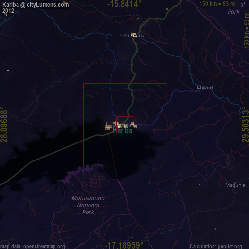
» Earth at Night: Flat Maps 2012, 2016