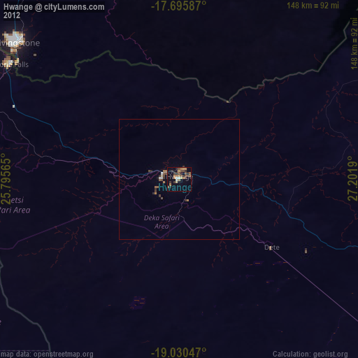
Hwange night lights from space
Night Light of Hwange (Matabeleland North) from space (Zimbabwe) Src. Average luminocity for 10x10km area is 14.0475% and for 50x50km: 0.7868%.
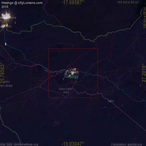
Analysis of Hwange night lights 2016
Square area 10x10 km:
 0%
0%90-99
0%80-89
0%70-79
2.48%60-69
4.13%50-59
4.13%40-49
2.69%30-39
7.85%20-29
2.48%10-19
1.45%0-9
74.79%Square area 50x50 km:
0%90-99
0%80-89
0%70-79
0.1%60-69
0.23%50-59
0.19%40-49
0.27%30-39
0.38%20-29
0.11%10-19
0.14%0-9
98.59%Clear (daylight) street map image can be seen on geolist.org.
Map coordinates:
17° 41' 45.1" South, 25° 47' 44.3" East
18° 21' 52.1" South, 26° 29' 55.6" East
19° 1' 49.7" South, 27° 12' 6.8" East
Some cities around Hwange sort by population:
• Livingstone, ZM
89.5 km =55.6 mi,  310°
310°
• Choma, ZM
180.6 km =112.2 mi,  16°
16°
• Victoria Falls
85.4 km =53.1 mi,  304°
304°
• Sesheke, ZM
253 km =157.2 mi,  292°
292°
• Maamba, ZM
130.6 km =81.2 mi,  31°
31°
• Sinazongwe, ZM
159.5 km =99.1 mi,  39°
39°
• Kasane, BW
154.7 km =96.1 mi, 293°
• Lupane
151.6 km =94.2 mi,  114°
114°
889942 (p: 33,210)
Sources (retrieved 2019-11-25):
» Earth at Night: Flat Maps 2012, 2016